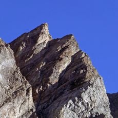
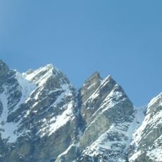
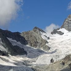
Dent Blanche, Mountain summit in Pennine Alps, Switzerland
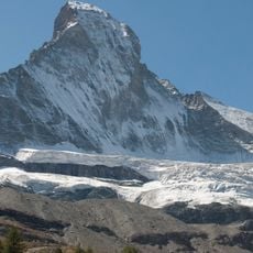
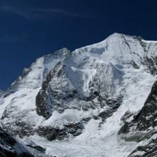
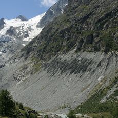
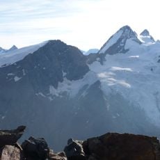
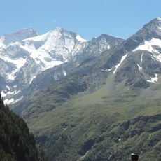
Dent Blanche is a summit in the Valais Alps that rises to 4,357 meters with four distinct rock faces. Its ridges align with the cardinal directions, creating a pyramidal form visible from across the region.
The mountain was first summited in 1862 by Thomas Stuart Kennedy and William Wigram, guided by Jean-Baptiste Croz and Johann Kronig. This ascent marked an important moment in early mountaineering history.
The name likely migrated from the neighbouring Dent d'Hérens through a copyist's error: the Dent d'Hérens is barely visible from the Val d'Hérens, while the Dent Blanche carries far less snow and appeared as Dent Noire on the 1842 Woerl Atlas. Lower Val d'Hérens inhabitants called the present Dent d'Hérens "Dent Blanche"; upper valley residents used Dent de Rong or Dent d'Erins. The names were fixed by the Dufour map in 1862, and the summit marks the French-German language boundary in the Upper Valais.
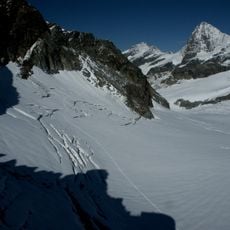
Mountaineers typically use the Cabane de Dent Blanche at 3,507 meters or the Schönbielhütte at 2,694 meters as bases for attempts. Route conditions vary significantly with season and weather, so proper planning and preparation are essential.
The mountain's German name, Steinbockhorn, is historically documented but no longer used. The east ridge is called Arête des Quatre Ânes, after guide Ulrich Almer's remark "We are four asses" on the summit in 1882.
The community of curious travelers
AroundUs brings together thousands of curated places, local tips, and hidden gems, enriched daily by 93,071 contributors worldwide.