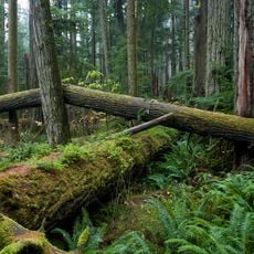
Mount Arrowsmith Regional Park, regional park in British Columbia, Canada
Location: Regional District of Nanaimo
GPS coordinates: 49.23333,-124.58333
Latest update: October 25, 2025 11:55
MacMillan Provincial Park
8.5 km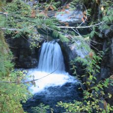
Little Qualicum Falls Provincial Park
5.9 km
Goats on the Roof
14.1 km
Hole-in-the Wall
12.4 km
Roger Creek Giant
13.2 km
Cairns
12.5 km
Cathedral Grove
8.7 km
Beer Garden
13.7 km
Hamilton Hobby Farm
12.6 km
Butterfly World
12.6 km
Eddie Statue
15 km
Ernie Statue
14.9 km
Falls
14.4 km
Scenic viewpoint
9.5 km
Scenic viewpoint
1.3 km
Arrowsmith View
14.4 km
Dry Creek Valley
13.2 km
Hole-in-the-Wall
12.4 km
Upper Falls
9.2 km
Roger Creek Canyon
15.1 km
Arrowsmith View
10.8 km
Scenic viewpoint
9.2 km
Scenic viewpoint
4.3 km
Forestry Lookout
12.2 km
Bird watching look out
12.3 km
Lake View-Point
6.8 km
Scenic viewpoint
9.2 km
Creek Viewpoint
15.1 kmReviews
Visited this place? Tap the stars to rate it and share your experience / photos with the community! Try now! You can cancel it anytime.
Discover hidden gems everywhere you go!
From secret cafés to breathtaking viewpoints, skip the crowded tourist spots and find places that match your style. Our app makes it easy with voice search, smart filtering, route optimization, and insider tips from travelers worldwide. Download now for the complete mobile experience.

A unique approach to discovering new places❞
— Le Figaro
All the places worth exploring❞
— France Info
A tailor-made excursion in just a few clicks❞
— 20 Minutes