Regional District of Nanaimo, Regional district on Vancouver Island, Canada
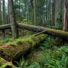
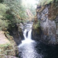
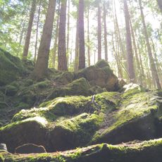
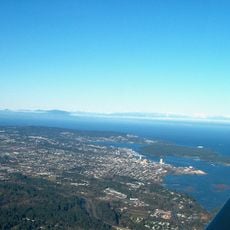
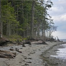
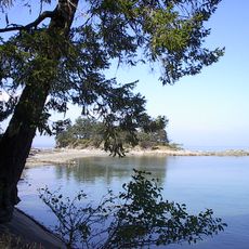
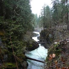
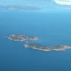
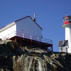
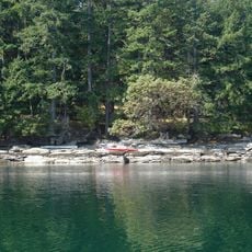
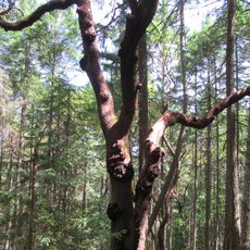
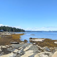
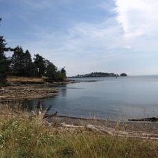
The Regional District of Nanaimo is an administrative area along the eastern coast of Vancouver Island, encompassing several cities, towns, and electoral areas. The territory spreads across varied landscapes, from coastal communities to forested hills inland.
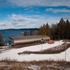
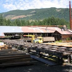
The district was established in 1967 to coordinate services among different communities, many of which had economies based on resource extraction. The region gradually shifted from mining and forestry toward more diverse economic activities.
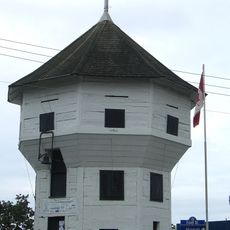
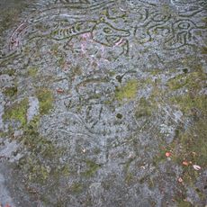
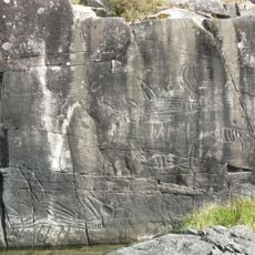
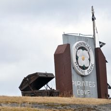
Indigenous peoples have lived here for centuries, and their traditions continue to shape local gatherings and public spaces throughout the communities. You will see their influence in art installations and heritage sites scattered across the region.
The area is served by a regional transit system connecting multiple communities with regular bus services among the main towns. It helps to plan ahead since connections vary depending on the time of day and day of the week.
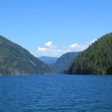
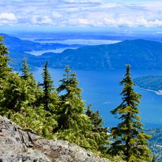
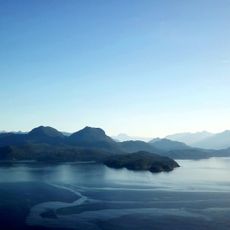
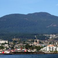
The territory is framed by natural landmarks including Mount Benson and Mount Arrowsmith, which rise prominently across the landscape. These peaks serve locals and visitors as visual anchors for navigation and orientation.
Location: British Columbia
Shares border with: Cowichan Valley Regional District, Metro Vancouver Regional District, Alberni-Clayoquot Regional District, Comox Valley Regional District
Website: https://rdn.bc.ca
GPS coordinates: 49.25000,-124.33300
Latest update: December 10, 2025 16:03
MacMillan Provincial Park
24.2 km
Englishman River Falls Provincial Park
1.4 km
Horne Lake Caves Provincial Park
32.5 kmAlberni Pacific Railway
34.9 km
Saysutshun Provincial Park
29.7 km
Rathtrevor Beach Provincial Park
9.3 km
Alberni Inlet
39.8 km
Little Qualicum Falls Provincial Park
19.7 km
Bastion
30.3 km
Petroglyph Provincial Park
31.9 km
Sproat Lake Provincial Park
43.4 km
Mount Elphinstone Provincial Park
56.1 km
Deep Bay Marine Field Station
37.1 km
McLean Mill National Historic Site
36.5 km
Cowichan
48 km
Plumper Cove Marine Provincial Park
65.3 km
Dionisio Point Provincial Park
61.5 km
Stamp River Provincial Park
44.2 kmCable Bay Trail
39.3 km
Pirates Cove Marine Provincial Park
47.4 km
Ballenas Island Light
16.8 km
Chrome Island lighthouse
35.5 kmMorden Colliery Historic Provincial Park
37.8 km
Wakes Cove Provincial Park
48 km
Arbutus Grove Provincial Park
13.3 km
Gabriola Sands Provincial Park
35 km
Drumbeg Provincial Park
48 km
Christian Science Society
30.1 kmVisited this place? Tap the stars to rate it and share your experience / photos with the community! Try now! You can cancel it anytime.
Discover hidden gems everywhere you go!
From secret cafés to breathtaking viewpoints, skip the crowded tourist spots and find places that match your style. Our app makes it easy with voice search, smart filtering, route optimization, and insider tips from travelers worldwide. Download now for the complete mobile experience.
A unique approach to discovering new places❞
— Le Figaro
All the places worth exploring❞
— France Info
A tailor-made excursion in just a few clicks❞
— 20 Minutes