Dionisio Point Provincial Park, Provincial park on Galiano Island, Canada
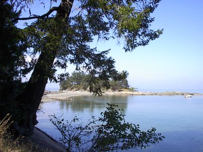
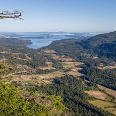
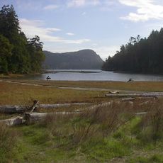
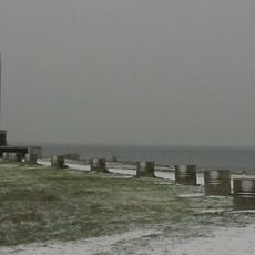
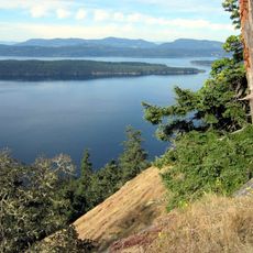
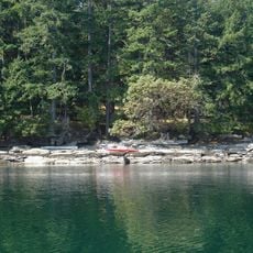
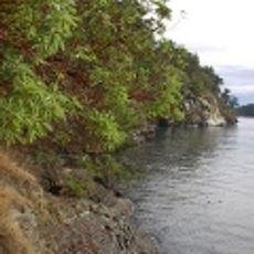
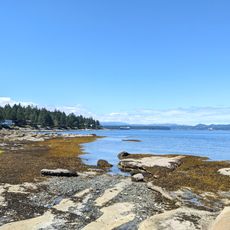
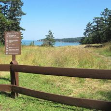
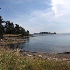
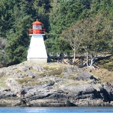
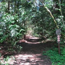
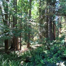
Dionisio Point Provincial Park covers 142 hectares on Galiano Island and features dramatic limestone cliffs, sandy beaches, and sheltered bays facing Porlier Pass between two islands. The terrain includes rugged coastlines shaped by natural forces, with trails that lead visitors through forest and along the water's edge.
Spanish explorer Dionisio Alcala Galiano named this area in 1792 while mapping the Gulf Islands during his expedition. Before his arrival, the land had been home to coastal peoples for thousands of years, with the name reflecting European contact rather than the beginning of human activity.
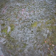
Shell middens scattered throughout the park reveal thousands of years of indigenous use and settlement by the Penelakut First Nation. Walking past these archaeological remains helps visitors understand how deeply connected local indigenous peoples have always been to this coastal landscape.
The park is only accessible by water, so visitors need to arrange boat transportation from nearby islands or the mainland. Thirty walk-in campsites are open year-round, but water facilities are only available from May through September, so plan your supplies accordingly.
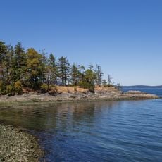
Visitors can regularly spot whales, seals, sea lions, and seabirds from the park's weathered limestone cliffs as they pass through Porlier Pass waters. These marine animal sightings happen often during coastal hikes, making the park an unexpectedly productive wildlife viewing location.
The community of curious travelers
AroundUs brings together thousands of curated places, local tips, and hidden gems, enriched daily by 60,000 contributors worldwide.