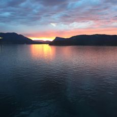
Mount Maxwell Provincial Park, Provincial park on Salt Spring Island, Canada
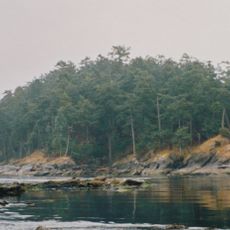
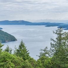
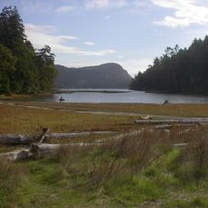
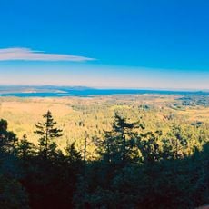
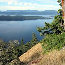
Mount Maxwell Provincial Park is a protected area on the western side of Salt Spring Island in British Columbia, covering about 231 hectares (570 acres). The site features a summit at approximately 580 meters (1,900 feet) that visitors can reach either by gravel road or hiking trails starting from the northeast or from Burgoyne Bay Provincial Park.
The area received its current name in 1911, though surveyors had previously called it Mount Baynes. The formal establishment as a provincial park came in 1938 to protect this portion of land for public use.
The Hul'qumi'num name for the mountain is Hwmet'utsun, meaning 'bent over place', recorded for the summit area. The park was created in 1938 around Baynes Peak, named for Admiral Sir Robert Lambert Baynes, while the mountain itself honours Mount Maxwell, the name locals used and which was made official in 1911.
The site is accessible year-round, and visiting on clear days is best to enjoy the views. Bring plenty of water and wear sturdy footwear, as trails can be slippery especially after rain.
The summit is named Baynes Peak, though the mountain itself was officially recorded as Mount Maxwell in 1911. Admiralty surveyor George Henry Richards had named it Mount Baynes around 1859 after Admiral Sir Robert Lambert Baynes, and locals kept using Maxwell until the change was accepted. The Hul'qumi'num name Hwmet'utsun means 'bent over place'.
The community of curious travelers
AroundUs brings together thousands of curated places, local tips, and hidden gems, enriched daily by 93,774 contributors worldwide.