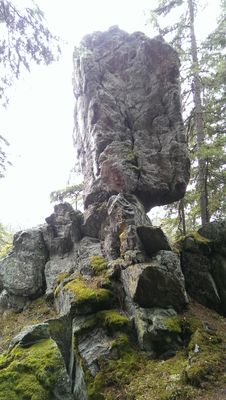
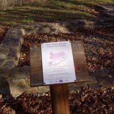
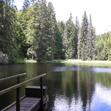
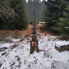
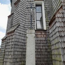
Beer pot, Rock formation in Svinná Lada, Czech Republic.
Beer Pot is a rock formation in the Svinná Lada area shaped by natural weathering and erosion into its current form. The stone displays distinct surface patterns and varies in appearance depending on lighting and moisture conditions.
The formation came to wider attention in the early 1700s when the first communities established themselves in this region for forestry work. It gradually became a recognized landmark as settlement and land use developed in the area.
The pot-like shape inspired local names and stories about the place, reflecting how people have understood this rock through generations. Today visitors can see how the formation's distinctive form has influenced how locals refer to and think about this part of the landscape.
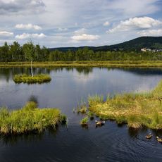
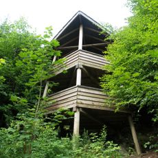
The site is accessible via marked hiking trails that are passable year-round from various starting points. Multiple viewpoints are available around the formation, so wear sturdy shoes and dress for changing mountain weather conditions.
The rock displays intense color patterns on its surface after rainfall due to mineral deposits that catch the moisture. These patterns are most visible in the hours following precipitation when the stone is still damp.
Location: Svinná Lada
GPS coordinates: 49.00030,13.62580
Latest update: December 12, 2025 14:20
Chalupská slať
2.5 km
Monument to the Kings of Šumava
206 m
Church of Saint Stephen
4 km
Tetřeví studánka
907 m
Church of Saint Martin
3.4 km
Rozhledna Vyhlídka
2.5 km
Pod Šindlovem
3.8 km
Chapel of Saint Anne
3.6 km
Nádrž U Tokaniště
3.5 km
Most přes Teplou Vltavu v Kvildě pod soutokem s Kvildským potokem
3.5 km
Most cesty k pomníku Králům Šumavy přes Teplou Vltavu
158 m
Dům čp. 11
3.3 km
Dřevěná socha Šumava na Kvildě
4 km
Dřevěná socha lyry na Kvildě
4 km
Památník zaniklého hřbitova
3.9 km
Boží muka na Kvildě
3.5 km
Kinetická socha čápa na Vilémově
3.2 km
Kříž u Lesních chalup
3.2 km
Footbridge over the Teplá Vltava in Borová Lada
2.9 km
Most silnice II/169 přes Teplou Vltavu v Kvildě
3.8 km
Kříž vlevo od vchodu do kostela svatého Štěpána na Kvildě
4 km
Kříž vpravo od vchodu do kostela svatého Štěpána na Kvildě
4 km
Centrální hřbitovní kříž na Kvildě
3.9 km
Most silnice II/167 přes Kvildský potok v Kvildě
3.5 km
Kříž u Hraběcí Huti
3.8 km
Kříž svatého Bernarda
3.6 km
Kříž v Hamerských domcích
3.6 km
Kříž na Vilémově
3.3 kmVisited this place? Tap the stars to rate it and share your experience / photos with the community! Try now! You can cancel it anytime.
Discover hidden gems everywhere you go!
From secret cafés to breathtaking viewpoints, skip the crowded tourist spots and find places that match your style. Our app makes it easy with voice search, smart filtering, route optimization, and insider tips from travelers worldwide. Download now for the complete mobile experience.
A unique approach to discovering new places❞
— Le Figaro
All the places worth exploring❞
— France Info
A tailor-made excursion in just a few clicks❞
— 20 Minutes