
Kolna, v okrese Znojmo
Location: Dyjákovičky
Part of: Fara
GPS coordinates: 48.78266,16.09461
Latest update: July 2, 2025 00:13
Ječmeniště
4.8 km
Church of Saint John the Baptist
1.9 km
Church of Saint Margaret
972 m
Pustý kopec u Konic
5.4 km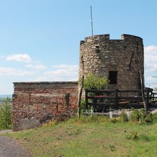
Lampelberg
3.8 km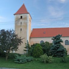
Church of Saint Vitus
219 m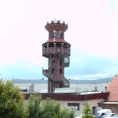
Observation tower
3 km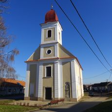
Church of Our Lady of Sorrows
4.2 km
Střebovský kopec
5.1 km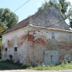
Chapel of Saint Mary of Help (Ječmeniště)
4.4 km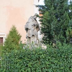
Socha sv. Jana Nepomuckého
219 m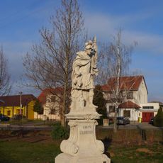
Socha svatého Floriána
1 km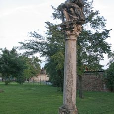
Sloup se sousoším Piety
212 m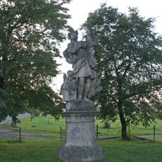
Socha svatého Floriána
73 m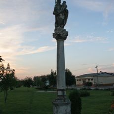
Sloup se sochou Panny Marie
120 m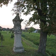
Socha svatého Jana Nepomuckého
93 m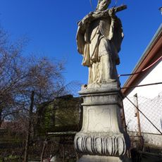
Socha svatého Jana Nepomuckého
1.7 km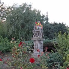
Sousoší svaté Anny a Panny Marie
1 km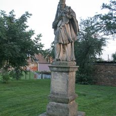
Socha sv. Jana Nepomuckého
219 m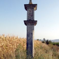
Bildstock 11948, Gemeinde Hadres
5.6 km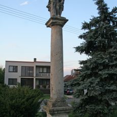
Sloup se sochou Ecce Homo
219 m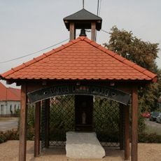
Chapel of Virgin Mary
4.6 km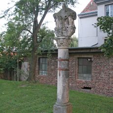
Sloup se sousoším Nejsvětější Trojice
219 m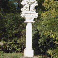
Bildstock Abschied Christi Untermarkersdorf, Gemeinde Hadres
4.8 km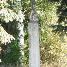
Kruzifix
4.6 km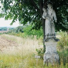
Statue heiliger Antonius von Padua
5.6 km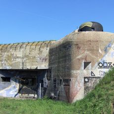
MJ-S 4 Zatáčka casemate
3.4 kmReviews
Visited this place? Tap the stars to rate it and share your experience / photos with the community! Try now! You can cancel it anytime.
Discover hidden gems everywhere you go!
From secret cafés to breathtaking viewpoints, skip the crowded tourist spots and find places that match your style. Our app makes it easy with voice search, smart filtering, route optimization, and insider tips from travelers worldwide. Download now for the complete mobile experience.

A unique approach to discovering new places❞
— Le Figaro
All the places worth exploring❞
— France Info
A tailor-made excursion in just a few clicks❞
— 20 Minutes