
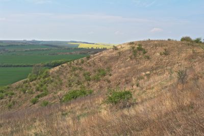
Ječmeniště, protected area in Czech Republic
Location: Vrbovec
Inception: 2013
GPS coordinates: 48.75246,16.14047
Latest update: March 8, 2025 09:05
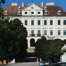
Schloss Seefeld
4.5 km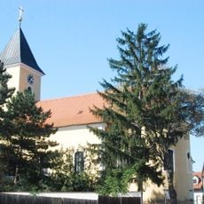
Pfarrkirche Seefeld
4.6 km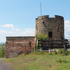
Lampelberg
1 km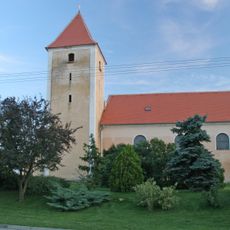
Church of Saint Vitus
4.8 km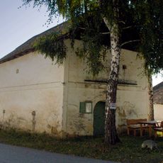
Weinmuseum in Untermarkersdorf, Gemeinde Hadres
4.7 km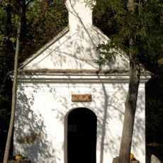
Schnitzer Kapelle
4.6 km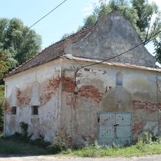
Chapel of Saint Mary of Help (Ječmeniště)
1.3 km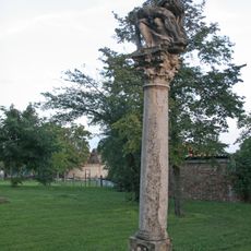
Sloup se sousoším Piety
4.8 km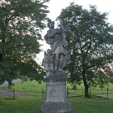
Socha svatého Floriána
4.7 km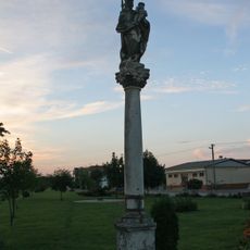
Sloup se sochou Panny Marie
4.8 km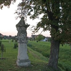
Socha svatého Jana Nepomuckého
4.8 km
Kaiser-Franz-Joseph-Brunnen
4.7 km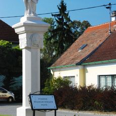
Mariensäule
4.7 km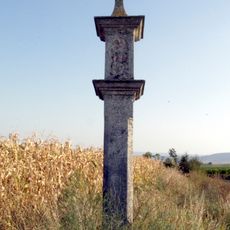
Bildstock 11948, Gemeinde Hadres
2.6 km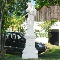
Statue heiliger Felix
4.5 km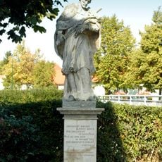
Statue of John of Nepomuk
4.8 km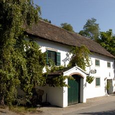
Weinkeller Himmelbauer in Untermarkersdorf, Gemeinde Hadres
4.7 km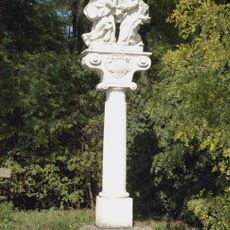
Bildstock Abschied Christi Untermarkersdorf, Gemeinde Hadres
2.7 km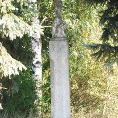
Kruzifix
4.5 km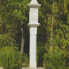
Wayside Shrine
3.8 km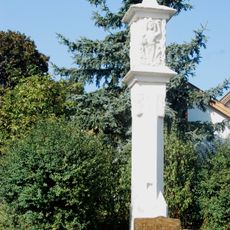
Pestsäule
4.4 km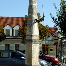
Pranger
4.8 km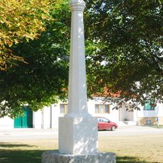
Pranger
4.7 km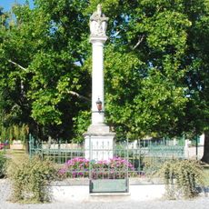
Dreifaltigkeitssäule
4.6 km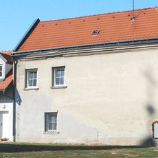
Pfarrhof
4.6 km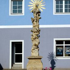
Dreifaltigkeitssäule
4.8 km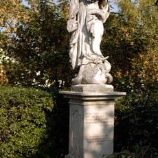
Statue of Virgin Mary
4.8 km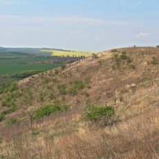
Ječmeniště
0 mReviews
Visited this place? Tap the stars to rate it and share your experience / photos with the community! Try now! You can cancel it anytime.
Discover hidden gems everywhere you go!
From secret cafés to breathtaking viewpoints, skip the crowded tourist spots and find places that match your style. Our app makes it easy with voice search, smart filtering, route optimization, and insider tips from travelers worldwide. Download now for the complete mobile experience.

A unique approach to discovering new places❞
— Le Figaro
All the places worth exploring❞
— France Info
A tailor-made excursion in just a few clicks❞
— 20 Minutes