Jez I. Pekárna, jez v okrese Znojmo
Location: Podmolí
Elevation above the sea: 249.11 m
Height: 1.8 m
Length: 80 m
Part of: Soubor čtyř jezů
GPS coordinates: 48.81859,15.97204
Latest update: November 24, 2023 23:43

Šobes
489 m
Jez III. u plovárny
951 m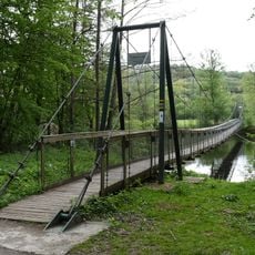
Šobeská lávka
903 m
Cesta Jaroslava Krejčího
866 m
Soubor čtyř jezů
952 m
Jez II. u Gruberova mlýna
276 m
Rozcestník Pod Šobesem - u lávky
929 m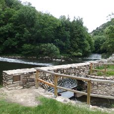
Papírenský jez
721 m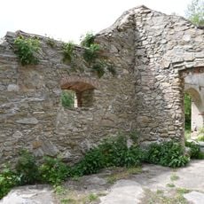
Ruins of watermill Papírna
780 m
Rozcestník Nad Šobesem
1.1 km
Rozcestník Pod Šobesem
1 km
Jez IV. u závlahové čerpací stanice
924 m
Podyjí
1.4 km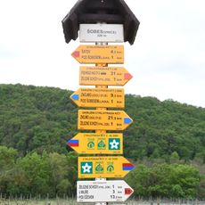
Rozcestník Šobes - vinice
440 m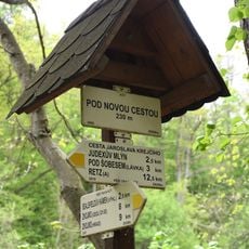
Rozcestník Pod Novou cestou
1.3 km
Rozcestník Judexův mlýn
1 km
Scenic viewpoint
458 m
7/III/121/A-160 Z
917 m
Železné schody
789 m
Wayside cross
775 m
2/43/1
580 m
5/2094/A-120 Z
542 m
5/2092/C2
228 m
Scenic viewpoint
215 m
Vyhlídka Devět mlýnů
1.1 km
7/II/108/A-120 Z
1.1 km
7/III/120/A-180
1.2 km
5/2093/C1
168 mReviews
Visited this place? Tap the stars to rate it and share your experience / photos with the community! Try now! You can cancel it anytime.
Discover hidden gems everywhere you go!
From secret cafés to breathtaking viewpoints, skip the crowded tourist spots and find places that match your style. Our app makes it easy with voice search, smart filtering, route optimization, and insider tips from travelers worldwide. Download now for the complete mobile experience.

A unique approach to discovering new places❞
— Le Figaro
All the places worth exploring❞
— France Info
A tailor-made excursion in just a few clicks❞
— 20 Minutes