Enable Location

We need your location to show you interesting places around you

Discover nearby places

Find interesting locations and hidden gems around you

Precise directions

Get accurate directions and distances to places

Your location is never shared with other users. It's only used when you tap the location button.

Šobes

Log in to your account

Start exploring — it's free

Trusted by 62,465 travelers worldwide

Continue with Google
Continue with Apple
or

We will send you a code to connect

By continuing, you accept our Terms and Conditions and our Privacy Policy

Check your inbox

We've sent a pincode in your inbox. Please enter the code below.

Šobes

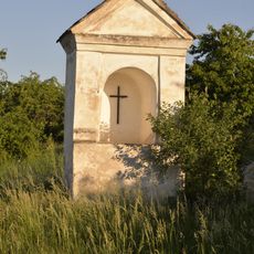
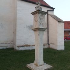
Šobes, Historic vineyard track in Podmolí, Czech Republic

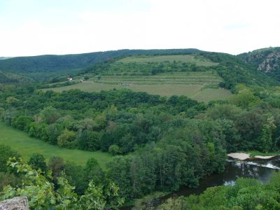
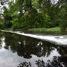
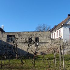
Šobes is a vineyard track situated on a rocky promontory alongside the Dyje River, with south-facing slopes positioned at around 332 meters elevation within Podyjí National Park. The steep terrain and exposed position on the river valley define the appearance of this winemaking zone.

In ancient times, Roman soldiers recognized the exceptional potential of this location during their journey through Moravia. This early identification of the land's suitability for viticulture established the foundation for winemaking traditions here.

The vineyard holds regular wine tasting events where visitors can sample local varieties while learning about traditional Czech winemaking methods and regional customs.

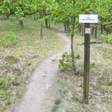
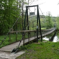
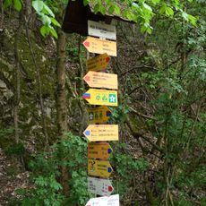
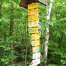
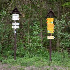
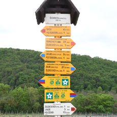
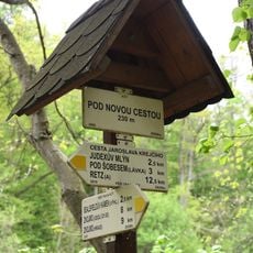
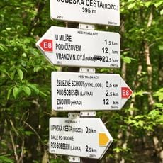
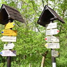
Access is provided through the Greenway Prague-Vienna trail, which offers excellent paths for walking and cycling. The site remains open year-round, though autumn offers the best visiting conditions when harvest activities are underway.

The wines produced here are so sought after that entire vintages often sell out before the grape harvest is complete. This scarcity demonstrates the exceptional reputation and demand for what is made in this location.

The community of curious travelers

AroundUs brings together thousands of curated places, local tips, and hidden gems, enriched daily by 60,000 contributors worldwide.

Start exploring
Location
Elevation above the sea
332 m
GPS coordinates
48.81580,15.97720
Latest update
December 10, 2025 20:04
Around this place
Church of St. Wolfgang
Czech Republic

Church of St. Wolfgang

2.2 km
Fládnitzské vřesoviště
Czech Republic

Fládnitzské vřesoviště

1.2 km
Socha svatého Floriána
Czech Republic

Socha svatého Floriána

2.2 km
Statue of John of Nepomuk in Havraníky
Czech Republic

Statue of John of Nepomuk in Havraníky

1.9 km
Socha svatého Jana Nepomuckého
Czech Republic

Socha svatého Jana Nepomuckého

2.3 km
Pomník obětem fašizmu v Hnanicích u hřbitova
Czech Republic

Pomník obětem fašizmu v Hnanicích u hřbitova

2.2 km
An alcove chapel at the road from Havraníky to Hnanice
Czech Republic

An alcove chapel at the road from Havraníky to Hnanice

1.9 km
An alcove chapel - south from the road from Havraníky to Hnanice
Czech Republic

An alcove chapel - south from the road from Havraníky to Hnanice

2.3 km
Maria column in Hnanice
Czech Republic

Maria column in Hnanice

2.2 km
Cesta Jaroslava Krejčího
Czech Republic

Cesta Jaroslava Krejčího

935 m
Sýpka
Czech Republic

Sýpka

2 km
Soubor čtyř jezů
Czech Republic

Soubor čtyř jezů

533 m
Šobeská lávka
Czech Republic

Šobeská lávka

499 m
Rozcestník Pod Šobesem - u lávky
Czech Republic

Rozcestník Pod Šobesem - u lávky

536 m
Ruins of watermill Papírna
Czech Republic

Ruins of watermill Papírna

443 m
Výklenková kaplička - poklona
Czech Republic

Výklenková kaplička - poklona

2.1 km
Výklenková kaplička - poklona
Czech Republic

Výklenková kaplička - poklona

2.1 km
Papírenský jez
Czech Republic

Papírenský jez

397 m
Zemědělská usedlost na nám. sv. Wolfganga č.p. 28
Czech Republic

Zemědělská usedlost na nám. sv. Wolfganga č.p. 28

2.1 km
Rozcestník Nad Šobesem
Czech Republic

Rozcestník Nad Šobesem

1.5 km
Kříž v Hnanicích vedle kostela svatého Wolfganga
Czech Republic

Kříž v Hnanicích vedle kostela svatého Wolfganga

2.2 km
Rozcestník Pod Šobesem
Czech Republic

Rozcestník Pod Šobesem

597 m
7-I/2109/A-140Z light pillbox
Czech Republic

7-I/2109/A-140Z light pillbox

2.2 km
Rozcestník Šobes - vinice
Czech Republic

Rozcestník Šobes - vinice

103 m
Boží muka u kostela v Hnanicích
Czech Republic

Boží muka u kostela v Hnanicích

2.2 km
Rozcestník Pod Novou cestou
Czech Republic

Rozcestník Pod Novou cestou

1.5 km
Rozcestník Šobeská cesta
Czech Republic

Rozcestník Šobeská cesta

2 km
Rozcestník Judexův mlýn
Czech Republic

Rozcestník Judexův mlýn

519 m
Show the full map
« Šobes - Historic vineyard track in Podmolí, Czech Republic » is provided by Around Us (aroundus.com). Images and texts are derived from Wikimedia project under a Creative Commons license. You are allowed to copy, distribute, and modify copies of this page, under the conditions set by the license, as long as this note is clearly visible.

Discover hidden gems everywhere you go!

From secret cafés to breathtaking viewpoints, skip the crowded tourist spots and find places that match your style. Our app makes it easy with voice search, smart filtering, route optimization, and insider tips from travelers worldwide. Download now for the complete mobile experience.

Around Us App Screenshot

A unique approach to discovering new places

Le Figaro

All the places worth exploring

France Info

A tailor-made excursion in just a few clicks

20 Minutes

Around Us
Travel Guide & Maps
Download

Send to your phone

QR Code
1

Open the camera app on your mobile.

2

Point at the QR code with your camera. A notification will appear.

3

Tap the notification to open the link.