
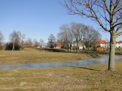
Lindetal, municipality of Germany
Location: Mecklenburgische Seenplatte District
Elevation above the sea: 100 m
Website: http://www.stargarder-land.de/htm/allg/gemeinden/lindetal.htm
Website: http://stargarder-land.de/htm/allg/gemeinden/lindetal.htm
GPS coordinates: 53.47861,13.43111
Latest update: March 6, 2025 16:54
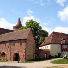
Stargard Castle
8.5 km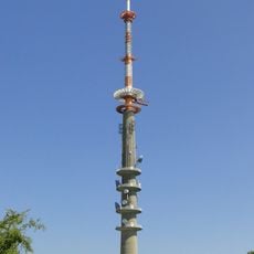
Helpterberg radio tower
11.4 km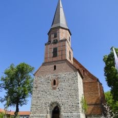
St.-Petri-Kirche
10.4 km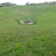
Rühlower Os
9.6 km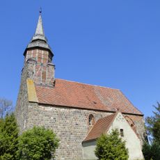
Church in Helpt
11.2 km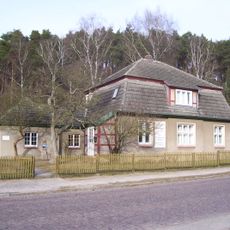
Marie-Hager-Haus
7.4 km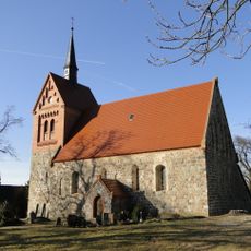
Church in Bredenfelde (Woldegk)
6.5 km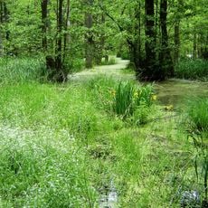
Hinrichshagen
8.2 km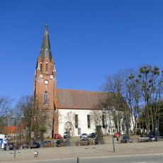
St. Johannes
8.2 km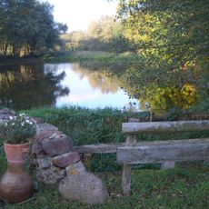
Schlavenkensee
6.6 km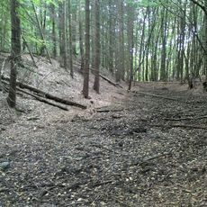
Burgwall Quadenschönfeld
7.4 km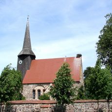
Church in Cölpin
4.6 km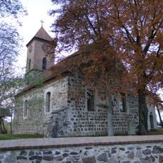
Church in Quadenschönfeld
8.2 km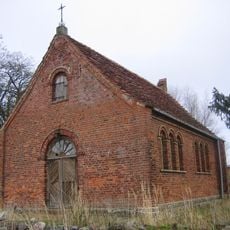
Dorfkirche Quastenberg
6.9 km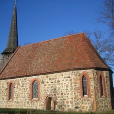
Dorfkirche Bargensdorf
10.2 km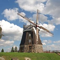
Buddesche Mühle
9.9 km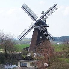
Ehlertsche Mühle
10.5 km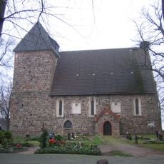
Dorfkirche Alt Käbelich
4.5 km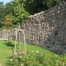
City walls in Woldegk
10.5 km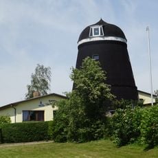
Windmühle und Mühlencafè Woldegk
9.9 km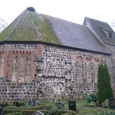
Dorfkirche Pragsdorf
7.2 km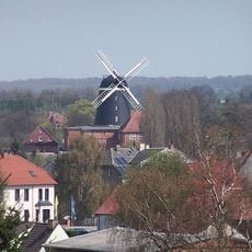
Fröhlckesche Windmühle Woldegk
11 km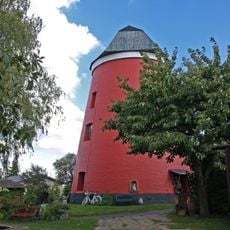
Gotthunskampmühle Woldegk
10.4 km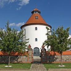
Wasserturm Woldegk
9.7 km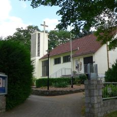
Maria Rosenkranz
7.9 km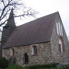
Church in Cammin
9.8 km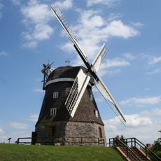
Mühlenmuseum Woldegk
9.9 km
Maria Mutter des Herrn
10.4 kmReviews
Visited this place? Tap the stars to rate it and share your experience / photos with the community! Try now! You can cancel it anytime.
Discover hidden gems everywhere you go!
From secret cafés to breathtaking viewpoints, skip the crowded tourist spots and find places that match your style. Our app makes it easy with voice search, smart filtering, route optimization, and insider tips from travelers worldwide. Download now for the complete mobile experience.

A unique approach to discovering new places❞
— Le Figaro
All the places worth exploring❞
— France Info
A tailor-made excursion in just a few clicks❞
— 20 Minutes