
Datzetal, municipality of Germany
Location: Mecklenburgische Seenplatte District
Elevation above the sea: 18 m
Website: http://friedland-mecklenburg.de
GPS coordinates: 53.65000,13.46667
Latest update: March 17, 2025 11:28
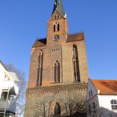
St. Marien
5.7 km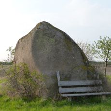
Blücherstein bei Kavelpaß
9.1 km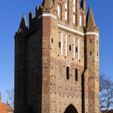
Neubrandenburger Tor
5.5 km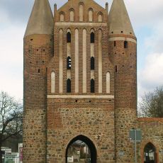
Anklamer Tor
6.3 km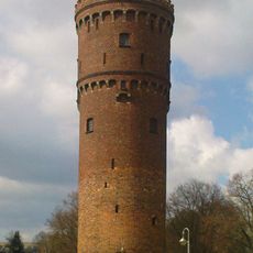
Fangelturm (Friedland)
5.8 km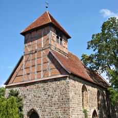
Church in Brohm
9.9 km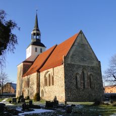
Church in Lübbersdorf
9.1 km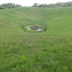
Rühlower Os
10 km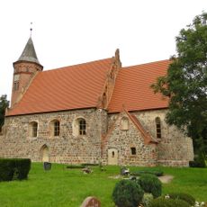
Church in Roga
875 m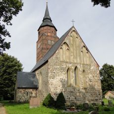
Church in Ganzkow
8.9 km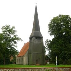
Kirche Siedenbollentin
10.9 km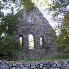
Kirchenruine Ramelow
10 km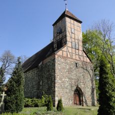
Church in Schönbeck
10.6 km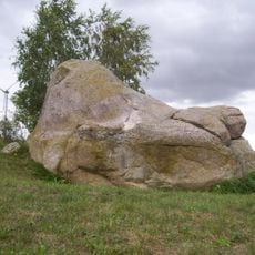
Teufelsstein bei Friedland
7.2 km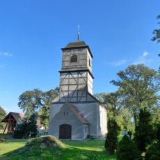
Church in Boldekow
11.7 km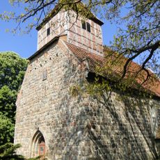
Church in Golm
11.7 km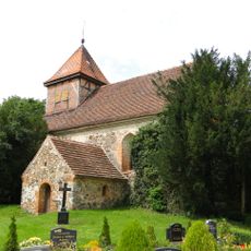
Church in Jatzke
6.8 km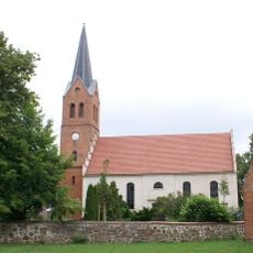
Kirche Grischow
10 km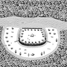
Burgwall Glienke
8 km
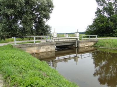
Landgrabental
10.1 km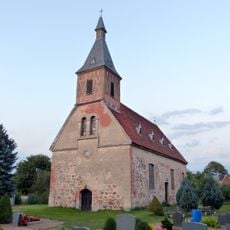
Church in Werder
10.3 km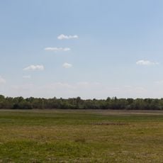
Landgrabenwiesen bei Werder
7.3 km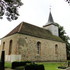
Church in Glienke
7.4 km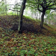
Burgwall Jatzke
7.4 km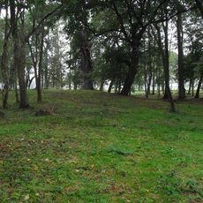
Burgwall Pleetz
1.4 km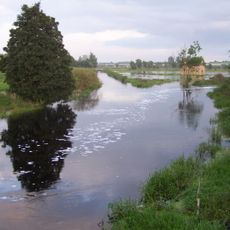
Tollensetal (Mecklenburgische Seenplatte)
11.8 km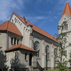
St. Norbert
5.7 km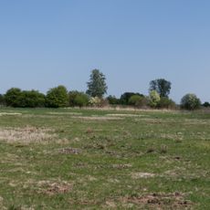
Talmoorkomplex des Kleinen Landgrabens bei Werder
7.4 kmVisited this place? Tap the stars to rate it and share your experience / photos with the community! Try now! You can cancel it anytime.
Discover hidden gems everywhere you go!
From secret cafés to breathtaking viewpoints, skip the crowded tourist spots and find places that match your style. Our app makes it easy with voice search, smart filtering, route optimization, and insider tips from travelers worldwide. Download now for the complete mobile experience.

A unique approach to discovering new places❞
— Le Figaro
All the places worth exploring❞
— France Info
A tailor-made excursion in just a few clicks❞
— 20 Minutes