Theuma, municipality of Germany
Location: Verwaltungsverband Jägerswald
Location: Vogtlandkreis
Elevation above the sea: 483 m
Shares border with: Neuensalz, Plauen, Tirpersdorf, Bergen
Website: https://theuma-vogtland.de
GPS coordinates: 50.47000,12.22250
Latest update: March 3, 2025 01:53
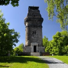
Kemmler Tower
4.7 km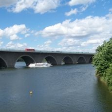
Talbrücke Pöhl
5.2 km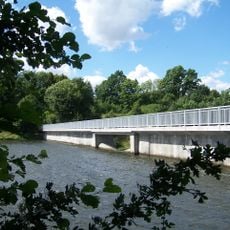
Vorsperre Neuensalz
4.9 km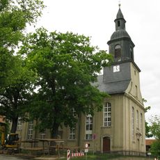
Stephanuskirche Oberlosa
4.5 km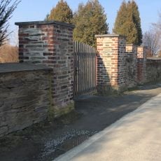
Friedhof Theuma
427 m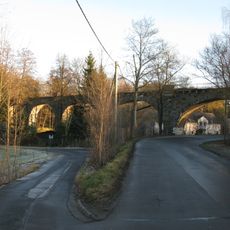
Viadukt Kleinfriesen Falkensteiner Straße
3.9 km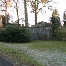
Kriegerdenkmal Großfriesen Windberg
2.2 km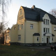
Villa Theumaer Weg 18
2.2 km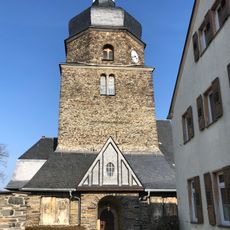
Maria-Magdalena-Kirche Hauptstraße
254 m
Villa Falkensteiner Landstraße 5
2.8 km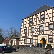
Gasthof Theuma; Leopolds Gasthof Hauptstraße 33
186 m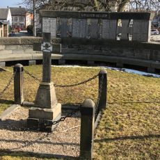
Kriegerdenkmal Hauptstraße
264 m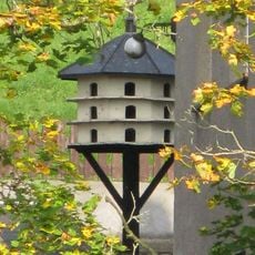
Pigeon house Falkensteiner Straße 19
4 km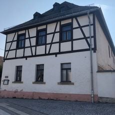
Pfarrhaus Hauptstraße 36
267 m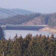
Wasserwerk Werda Werda
5.9 km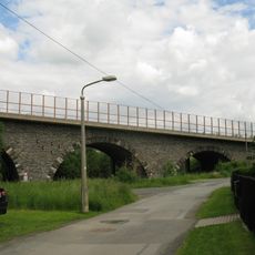
Friesenbachtalbrücke Bundesautobahn 72
3.1 km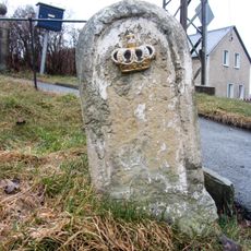
Royal Saxon milestone Neuensalz
3.8 km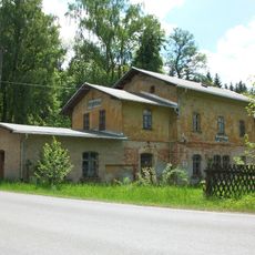
Haltepunkt Bergen
5.2 km
Friedhofsmauer Mechelgrüner Straße
434 m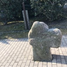
Steinkreuz Stöckigter Weg
662 m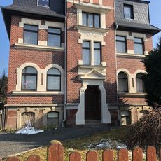
Villa Stöckigter Weg 1
629 m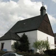
Kapelle mit Ausstattung Altensalzer Straße 2
4 km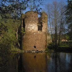
Schloss Mechelgrün
1.6 km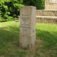
Station 153 Kemmlerberg
4.7 km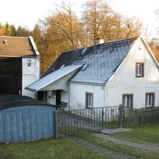
Alte Schmiede Falkensteiner Straße 45
3.7 km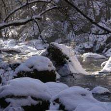
Triebtalgebiet
5.8 km
Großfriesener Schule Falkensteiner Landstraße 26
2.5 km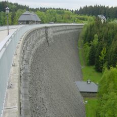
Talsperre Werda; Geigenbachtalsperre Werda
6.4 kmVisited this place? Tap the stars to rate it and share your experience / photos with the community! Try now! You can cancel it anytime.
Discover hidden gems everywhere you go!
From secret cafés to breathtaking viewpoints, skip the crowded tourist spots and find places that match your style. Our app makes it easy with voice search, smart filtering, route optimization, and insider tips from travelers worldwide. Download now for the complete mobile experience.

A unique approach to discovering new places❞
— Le Figaro
All the places worth exploring❞
— France Info
A tailor-made excursion in just a few clicks❞
— 20 Minutes