
Verwaltungsverband Jägerswald, Verwaltungsverband im Vogtlandkreis, Sachsen, Deutschland
Location: Vogtlandkreis
Website: http://jaegerswald.de
GPS coordinates: 50.43470,12.25420
Latest update: March 6, 2025 11:24
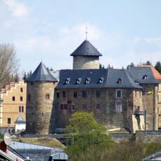
Schloss Voigtsberg
5.1 km
Talsperre Werda
4 km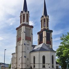
Saint James the Grater church in Oelsnitz/Vogtl.
6.4 km
Town hall (Oelsnitz)
6.2 km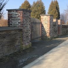
Friedhof Theuma
4.9 km
Schützenhaus Oelsnitz
6.2 km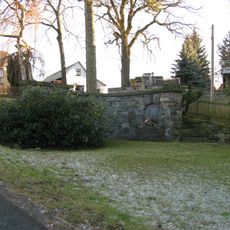
Kriegerdenkmal Großfriesen Windberg
6.7 km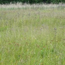
Sohrwiesen
6.8 km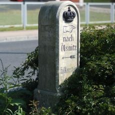
Kgl.-sächs. Postmeilenstein Poppengrün
5.6 km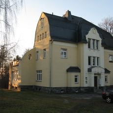
Villa Theumaer Weg 18
6.7 km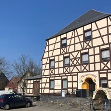
Gasthof Theuma; Leopolds Gasthof Hauptstraße 33
4.7 km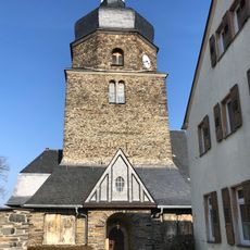
Maria-Magdalena-Kirche Hauptstraße
4.8 km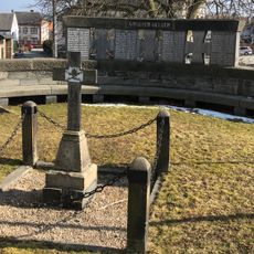
Kriegerdenkmal Hauptstraße
4.8 km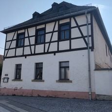
Pfarrhaus Hauptstraße 36
4.8 km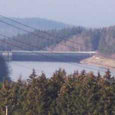
Wasserwerk Werda Werda
3.7 km
Pfarrhof Hauptstraße 35
7 km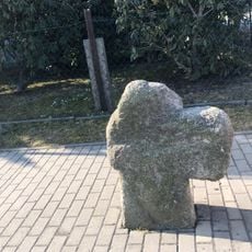
Steinkreuz Stöckigter Weg
5.2 km
Villa Stöckigter Weg 1
5.2 km
Herrenhaus Hauptstraße 15
6.8 km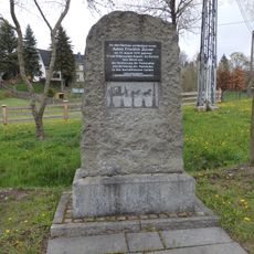
Zürner-Gedenkstein Marieney
6.9 km
Friedhofsmauer Mechelgrüner Straße
4.9 km
Schloss Mechelgrün
5.3 km
Station 146 Friedrichstein
7.2 km
Haltepunkt Bergen
4.2 km
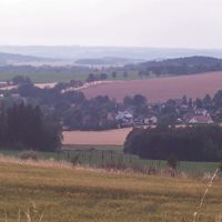
Triebtalgebiet
5.3 km
Großfriesener Schule Falkensteiner Landstraße 26
7 km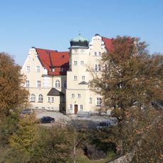
Rathaus Sonnenwirbel 3
7.1 km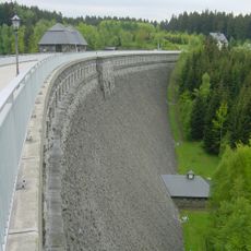
Talsperre Werda; Geigenbachtalsperre Werda
4 kmReviews
Visited this place? Tap the stars to rate it and share your experience / photos with the community! Try now! You can cancel it anytime.

Discover hidden gems everywhere you go!
From secret cafés to breathtaking viewpoints, skip the crowded tourist spots and find places that match your style. Our app makes it easy with voice search, smart filtering, route optimization, and insider tips from travelers worldwide. Download now for the complete mobile experience.

A unique approach to discovering new places❞
— Le Figaro
All the places worth exploring❞
— France Info
A tailor-made excursion in just a few clicks❞
— 20 Minutes