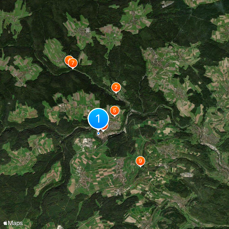
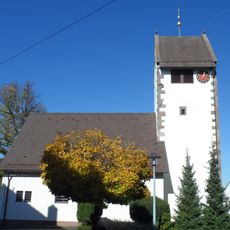
Altensteig, Urban municipality in Black Forest, Baden-Württemberg, Germany.
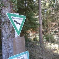
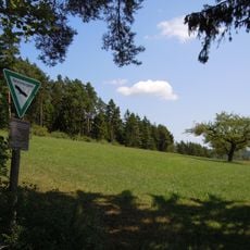
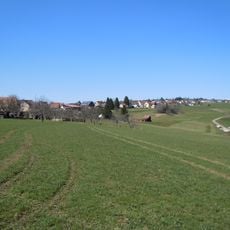
Altensteig is a municipality in the Black Forest region comprising nine boroughs spread across the landscape. The settlement sits on elevated terrain surrounded by forests that define its natural setting.
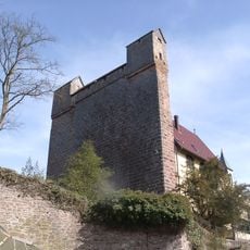
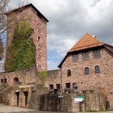
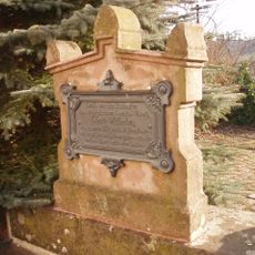
The settlement received town rights in the 14th century from the Counts of Hohenberg. It later passed to Württemberg rule, which shaped the region for centuries afterward.
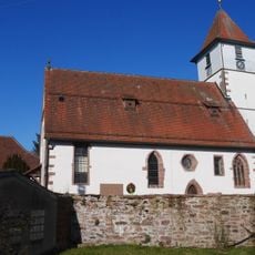
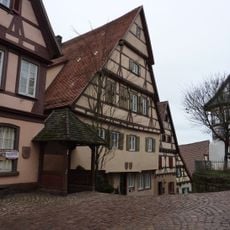
The town center features timber-framed houses that reflect centuries of building traditions and daily life in the region. These structures shape how people experience the place and connect to their surroundings.
The town has a central district where shops and services are located among the timber-framed buildings. You can reach it from the main road and find parking at the town edge, making it easy to walk into the heart of the place.
The municipal coat of arms features a stag with antlers above a green mountain set against red and white fields. This symbol links the area's noble past with the forest landscape that dominates the region.
Location: Altensteig VVG
Location: Calw District
Elevation above the sea: 504 m
Shares border with: Haiterbach, Rohrdorf, Neuweiler, Simmersfeld, Grömbach, Wörnersberg, Pfalzgrafenweiler, Egenhausen, Ebhausen, Wildberg, Neubulach
Website: https://altensteig.de
GPS coordinates: 48.58639,8.60472
Latest update: December 7, 2025 10:01
Ruine Mandelberg
6.8 km
Burg Berneck
2.2 km
Burg Hornberg
4 km
Remigiuskirche
1 km
Evangelische Stadtkirche (Altensteig)
9 m
Georgskirche
7.2 km
Köllbachtal mit Seitentälern
3.7 km
Kleinenztal und Schwarzwaldrandplatten
9.8 km
Königsbank
33 m
Mindersbacher Tal
6.9 km
Egenhäuser Kapf mit Bömbachtal
2.8 km
Falchenwiesen
8.5 km
Waldach- und Haiterbachtal
6.7 km
Blumenstraße 1
98 m
Staufen
5.6 km
Nagolder Heckengäu
6.7 km
Bartholomäuskirche Oberhaugstett
9.3 km
Schmalzmisse
4.6 km
Oberer Gründel
4.3 km
Bergfried Ruine Mandelberg
6.8 km
Kirche Martinsmoos
6.2 km
Köllbachtal mit Seitentälern
4.3 km
Wellingtonie
7.1 km
Friedenseiche vom Jahr 1871 (Nr. 147)
5.4 km
Alteiche
2.8 km
1 Linde (Nr. 145)
6.9 km
Egenhauser Eichenhain
2 km
Linde
2.7 kmReviews
Visited this place? Tap the stars to rate it and share your experience / photos with the community! Try now! You can cancel it anytime.
Discover hidden gems everywhere you go!
From secret cafés to breathtaking viewpoints, skip the crowded tourist spots and find places that match your style. Our app makes it easy with voice search, smart filtering, route optimization, and insider tips from travelers worldwide. Download now for the complete mobile experience.
A unique approach to discovering new places❞
— Le Figaro
All the places worth exploring❞
— France Info
A tailor-made excursion in just a few clicks❞
— 20 Minutes