
Baierbach, municipality of Germany
Location: Landshut
Elevation above the sea: 418 m
Part of: Verwaltungsgemeinschaft Altfraunhofen
Shares border with: Neufraunhofen, Hohenpolding, Vilsheim, Altfraunhofen, Geisenhausen
Website: http://baierbach.de
GPS coordinates: 48.41667,12.20000
Latest update: April 15, 2025 20:34
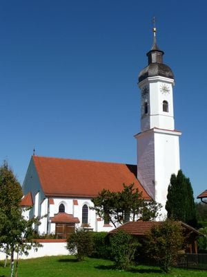
St. Nikolaus (Altfraunhofen)
4.3 km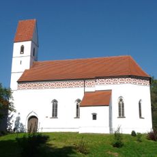
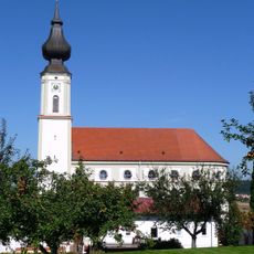
St. Lambert (Kleinvelden)
6 km
Cultural heritage D-2-7639-0001 in Neufraunhofen
4.4 km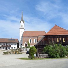
Hl. Dreifaltigkeit (Kreuz)
6.7 km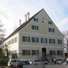
Pfarrhaus Wambach
3.8 km
Mariä Heimsuchung
6.3 km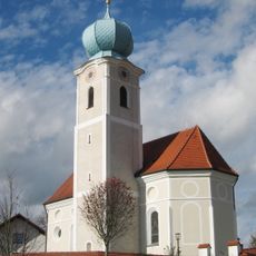
Hl. Kreuzauffindung
4.6 km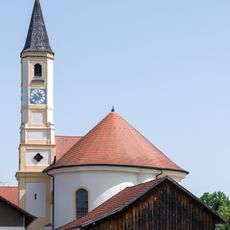
Filialkirche Maria von Einsiedeln
5.6 km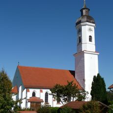
St. Andreas
517 m
St. Lampertus
3.8 km
Katholische Pfarrkirche St. Nikolaus , Kapelle und Ummauerung
4.3 km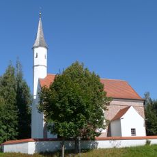
Katholische Kirche Unsere Liebe Frau
276 m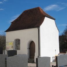
Friedhofskapelle St. Michael
6.3 km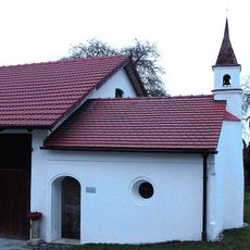
Kapelle einer Hofanlage
4.1 km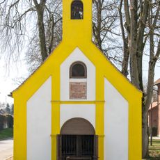
Kapelle
6.7 km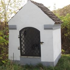
Feldkapelle
7.5 km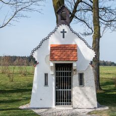
Marienkapelle St. Barbara
6 km
Villa mit Hochparterre
6.8 km
Velden (Vils) train station
6.7 km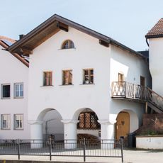
Ehemalige Schmiede
6.8 km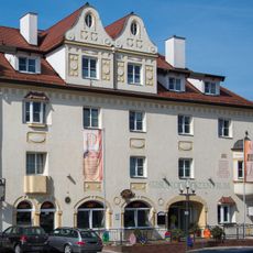
Gasthof
6.8 km
Wohn- und Geschäftshaus
6.9 km
Altes Rathaus Velden
6.9 km
Wohnhaus
6.8 km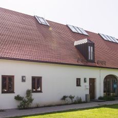
Ökonomiegebäude des Pfarrhofs
4.3 km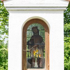
Bildstock
5.5 km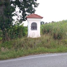
Bildstock
3.7 km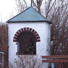
Bildstock
4.2 kmVisited this place? Tap the stars to rate it and share your experience / photos with the community! Try now! You can cancel it anytime.
Discover hidden gems everywhere you go!
From secret cafés to breathtaking viewpoints, skip the crowded tourist spots and find places that match your style. Our app makes it easy with voice search, smart filtering, route optimization, and insider tips from travelers worldwide. Download now for the complete mobile experience.

A unique approach to discovering new places❞
— Le Figaro
All the places worth exploring❞
— France Info
A tailor-made excursion in just a few clicks❞
— 20 Minutes