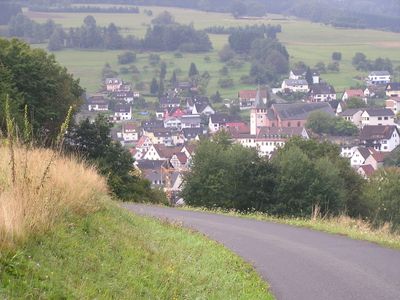
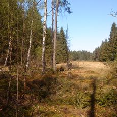
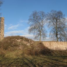
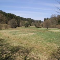
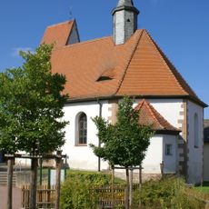
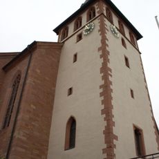
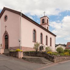
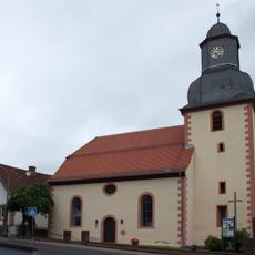
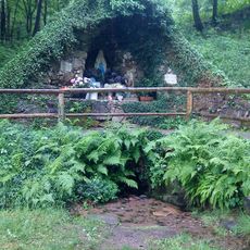
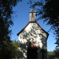
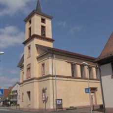
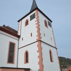
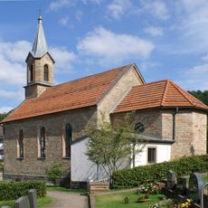
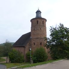
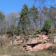
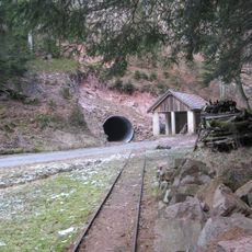
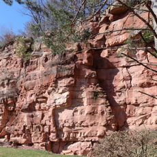
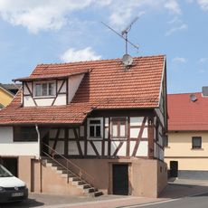
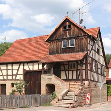
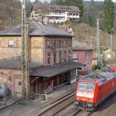
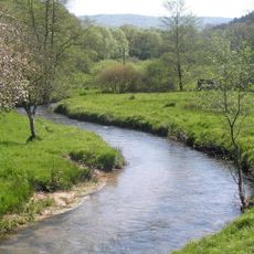
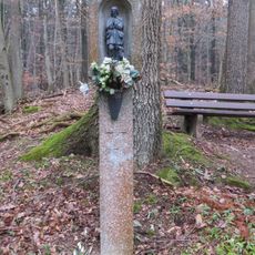
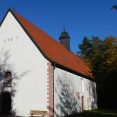
Frammersbach, market municipality in Bavaria, Germany
Location: Main-Spessart
Elevation above the sea: 246 m
Shares border with: Haurain, Frammersbacher Forst, Partenstein, Partensteiner Forst, Wiesthal, Heinrichsthaler Forst, Wiesen, Flörsbachtal
Website: http://frammersbach.de
GPS coordinates: 50.06667,9.46667
Latest update: March 23, 2025 13:27
Wiesbütt-Moor
8.7 km
Burgruine
4.7 km
Spessartwiesen
3.3 km
Pfarrkirche
4.8 km
St. Bartholomäus
345 m
Saalkirche
4.7 km
St. Marien
5.3 km
Große Mariengrotte Heigenbrücken
6.4 km
Kreuzkapelle
9.7 km
Hirschberg mountain
7.4 km
Christ Church (Partenstein)
4.6 km
St. Matthäus
6.7 km
Kuratiekirche
8.6 km
Pfarrkirche
4.6 km
Filialkirche
10.4 km
Pfarrkirche
8 km
Pfarrkirche
7.8 km
Sandsteinbruch am Parkplatz Wodianka SW von Heigenbrücken
9 km
Schwerspatgrube Erichstollen NE von Partenstein
5.3 km
Ehemaliger Sandsteinbruch bei Heigenbrücken
8.3 km
Wohnhaus
10.5 km
Wohnstallhaus
10.5 km
Empfangsgebäude
8.6 km
Hochspessart
4.4 km
Bildstock
10.9 km
Kapelle
2.1 km
Lohrbach- und Aubach-Tal
3.3 km
Forstamt
8.8 kmReviews
Visited this place? Tap the stars to rate it and share your experience / photos with the community! Try now! You can cancel it anytime.
Discover hidden gems everywhere you go!
From secret cafés to breathtaking viewpoints, skip the crowded tourist spots and find places that match your style. Our app makes it easy with voice search, smart filtering, route optimization, and insider tips from travelers worldwide. Download now for the complete mobile experience.
A unique approach to discovering new places❞
— Le Figaro
All the places worth exploring❞
— France Info
A tailor-made excursion in just a few clicks❞
— 20 Minutes