
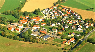
Theisseil, municipality of Germany
Location: Neustadt an der Waldnaab
Elevation above the sea: 557 m
Part of: Verwaltungsgemeinschaft Neustadt an der Waldnaab
Website: http://theisseil.de
GPS coordinates: 49.70000,12.23333
Latest update: April 9, 2025 02:51
Dost
1.6 kmVierlingsturm
3 km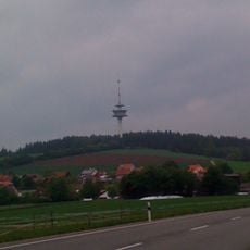
Fernmeldeturm Weiden
2.3 km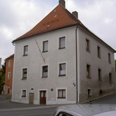
Podewilshaus Floß
4.2 km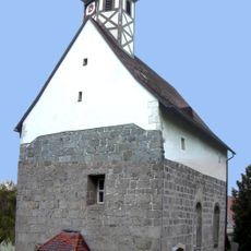
St. Ulrich
1.2 km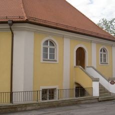
Synagoge (Floß)
4.2 km
Katholische Pfarrkirche
4.1 km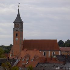
Evangelische Pfarrkirche (Floß)
4 km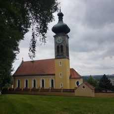
St. Ulrich Wilchenreuth
1.1 km
Pflegschloss Floß
4.2 km
Floß Marktplatz 2
4 km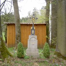
Wegkreuz Schammesrieth
3.9 km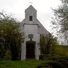
Dorfkapelle
3.4 km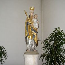
St. Johannes Nepomuk
2.8 km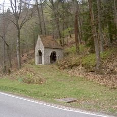
Kriegergedächtniskapelle
3.5 km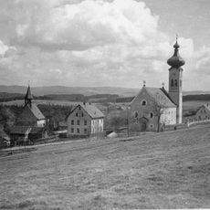
Katholische Pfarrkirche St. Ulrich
1.1 km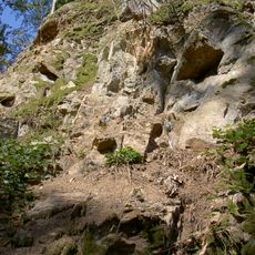
Feld- und Waldgebiet Almesbach - Im Ibelnest - Eichrangen - Fischerberg - Buchrangen-Ebene - Hint. Neuried - Hl. Staude - Sauhübel
3.3 km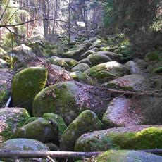
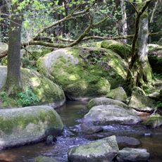
Girnitz-Bachlauf im NSG Doost SE von Gollwitzerhof
1.7 km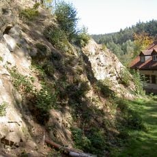
Steinbruch Blockhütte Weiden
2.3 km
Brunnen Wiedenbrunnenweg Floß
4.1 km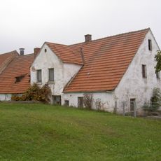
Wohnstallhaus Letzau Geistl.-Rat-Hösl-Straße 10
3.1 km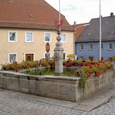
Floß Marktplatz Brunnen
4.1 km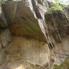
Ehemaliger Steinbruch SW von Theisseil
1.9 km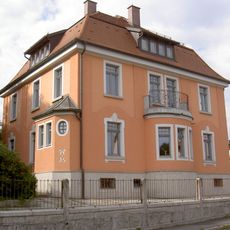
Riebl-Villa
4 km
Wohnhaus
4.1 km
Steintorbogen
4.3 km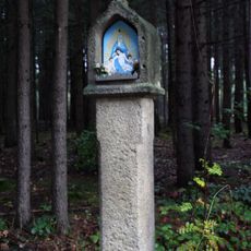
Bildstock
3.5 km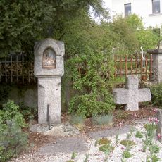
Weiße Marter in Weiden in der Oberpfalz
5 kmVisited this place? Tap the stars to rate it and share your experience / photos with the community! Try now! You can cancel it anytime.
Discover hidden gems everywhere you go!
From secret cafés to breathtaking viewpoints, skip the crowded tourist spots and find places that match your style. Our app makes it easy with voice search, smart filtering, route optimization, and insider tips from travelers worldwide. Download now for the complete mobile experience.

A unique approach to discovering new places❞
— Le Figaro
All the places worth exploring❞
— France Info
A tailor-made excursion in just a few clicks❞
— 20 Minutes