Enable Location

We need your location to show you interesting places around you

Discover nearby places

Find interesting locations and hidden gems around you

Precise directions

Get accurate directions and distances to places

Your location is never shared with other users. It's only used when you tap the location button.

Neustadt an der Waldnaab

Log in to your account

Start exploring — it's free

Trusted by 62,158 travelers worldwide

Continue with Google
Continue with Apple
or

We will send you a code to connect

By continuing, you accept our Terms and Conditions and our Privacy Policy

Check your inbox

We've sent a pincode in your inbox. Please enter the code below.

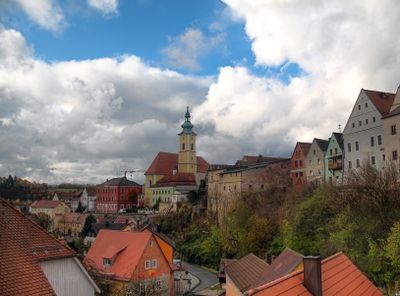
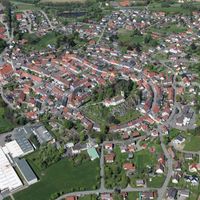
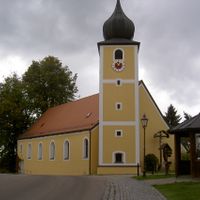
Neustadt an der Waldnaab, Administrative district in Upper Palatinate, Germany.

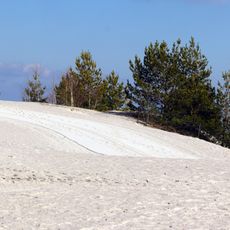
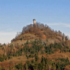
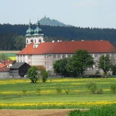
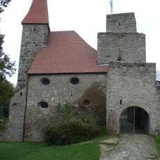
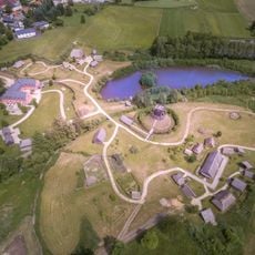
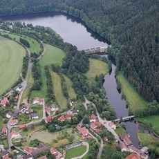
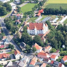
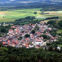
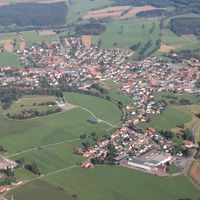
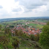
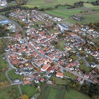
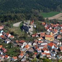
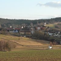
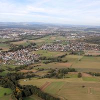
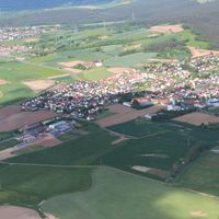
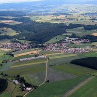
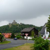
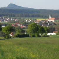
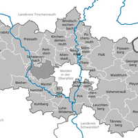
Neustadt an der Waldnaab is an administrative district in Upper Palatinate comprising 38 municipalities spread across forested hills and valleys. The territory is characterized by extensive woodlands and rolling terrain at an average elevation around 450 meters.

The district was established on July 1, 1862, as an administrative entity in Bavarian Palatinate. It took its current form in 1972 following the merger of Neustadt an der Waldnaab, Eschenbach, and Vohenstrauß territories.

The coat of arms features the Palatinate lion, three stars from Störnstein, and blue-white bars from Leuchtenberg. These symbols tell of the different regions that merged to form this territory.

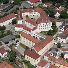
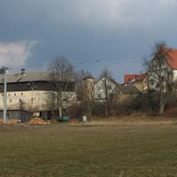
The administrative center in Neustadt provides public services and maintains established road and railway connections to neighboring regions. Visitors can easily reach and explore the various villages and forests by car or train.

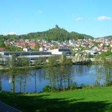
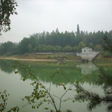
Two river headstreams, the Waldnaab and Haidenaab, flow through the territory and merge in the southern section to form the River Naab. This river system shapes the landscape and ecological character of the area.

The community of curious travelers

AroundUs brings together thousands of curated places, local tips, and hidden gems, enriched daily by 60,000 contributors worldwide.

Start exploring
Location
Inception
July 1, 1862
Capital city
Neustadt an der Waldnaab
Elevation above the sea
450 m
Shares border with
Weiden in der Oberpfalz, Schwandorf, Amberg-Sulzbach, Tirschenreuth, Bayreuth, Domažlice District, Tachov District
GPS coordinates
49.67000,12.00000
Latest update
December 19, 2025 22:56
« Neustadt an der Waldnaab - Administrative district in Upper Palatinate, Germany » is provided by Around Us (aroundus.com). Images and texts are derived from Wikimedia project under a Creative Commons license. You are allowed to copy, distribute, and modify copies of this page, under the conditions set by the license, as long as this note is clearly visible.

Discover hidden gems everywhere you go!

From secret cafés to breathtaking viewpoints, skip the crowded tourist spots and find places that match your style. Our app makes it easy with voice search, smart filtering, route optimization, and insider tips from travelers worldwide. Download now for the complete mobile experience.

Around Us App Screenshot

A unique approach to discovering new places

Le Figaro

All the places worth exploring

France Info

A tailor-made excursion in just a few clicks

20 Minutes

Around Us
Travel Guide & Maps
Download

Send to your phone

QR Code
1

Open the camera app on your mobile.

2

Point at the QR code with your camera. A notification will appear.

3

Tap the notification to open the link.