
Konradsreuth, municipality of Germany
Location: Hof
Elevation above the sea: 552 m
Shares border with: Schwarzenbach an der Saale, Leupoldsgrün
Website: http://konradsreuth.de
GPS coordinates: 50.26667,11.83333
Latest update: March 12, 2025 07:38
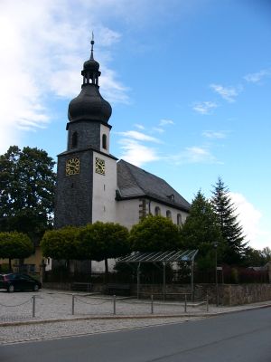

Saalkirche
955 m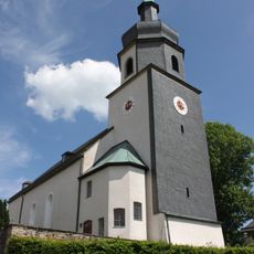
Parish church Leupoldsgrün
3.6 km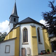
St.-Martins-Kirche
3.8 km
Kuttenschloss
2 km
Turmhügel Hartungs
3 km
Jagdhaus
2.4 km
Schutz von Landschaftsräumen im Gebiet der Stadt Hof und des Landkreises Hof (Untreubachtal)
4.8 km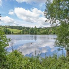
LSG Kulm - Pfaffenteiche im Gebiet der Stadt Hof
5 km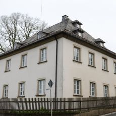
Pfarrhaus
3.6 km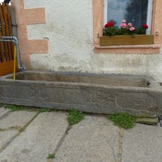
Brunnen
6.5 km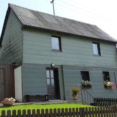
Wohnhaus
3.7 km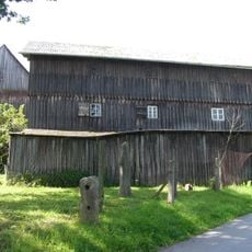
Gedenkkreuz
4.6 km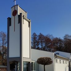
Maria Helferin der Christen
996 m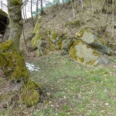
Steinbruch NE von Seulbitz
6.2 km
Grenzstein
2.1 km
Grenzstein
4.5 km
Vierseithof
2.8 km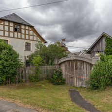
Cultural heritage D-4-64-000-230 in Hof (Saale)
3.6 km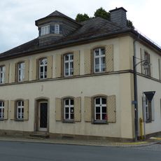
Wappen
927 m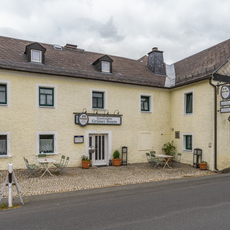
Gasthaus
3.4 km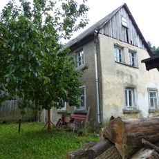
Handwerkerhaus
674 m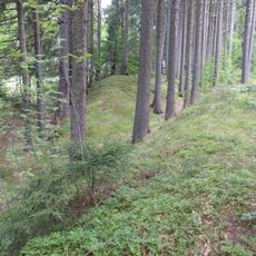
Altstraße
1.4 km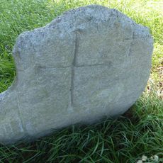
Kreuzstein
2.2 km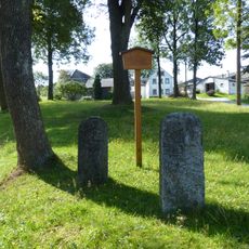
Grenzstein
2.1 km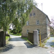
Pfarrhaus
3.8 km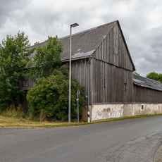
Nebengebäude Pirk 1 in Hof (Saale)
3.8 km
Nebengebäude In Pirk; Pirk 3 in Hof (Saale)
3.6 km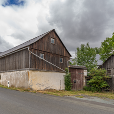
Dreiseithof
3.8 kmReviews
Visited this place? Tap the stars to rate it and share your experience / photos with the community! Try now! You can cancel it anytime.
Discover hidden gems everywhere you go!
From secret cafés to breathtaking viewpoints, skip the crowded tourist spots and find places that match your style. Our app makes it easy with voice search, smart filtering, route optimization, and insider tips from travelers worldwide. Download now for the complete mobile experience.

A unique approach to discovering new places❞
— Le Figaro
All the places worth exploring❞
— France Info
A tailor-made excursion in just a few clicks❞
— 20 Minutes