Enable Location

We need your location to show you interesting places around you

Discover nearby places

Find interesting locations and hidden gems around you

Precise directions

Get accurate directions and distances to places

Your location is never shared with other users. It's only used when you tap the location button.

Log in to your account

Start exploring — it's free

Trusted by 61,553 travelers worldwide

Continue with Google
Continue with Apple
or

We will send you a code to connect

By continuing, you accept our Terms and Conditions and our Privacy Policy

Check your inbox

We've sent a pincode in your inbox. Please enter the code below.

Hof, Rural district in Upper Franconia, Bavaria, Germany.

Description

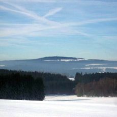
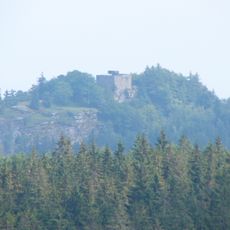
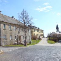
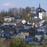
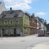
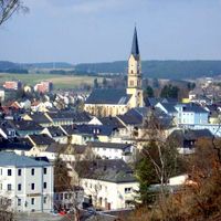
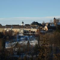
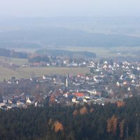
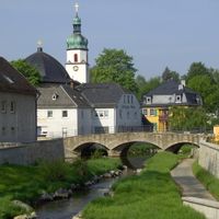
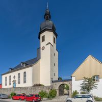
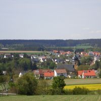
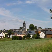
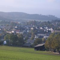
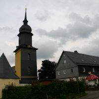
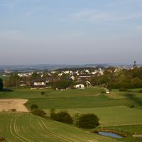
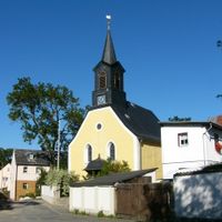
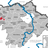
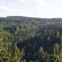
Hof district is an administrative area in Upper Franconia situated between the Fichtel Mountains and Franconian Forest. It borders Thuringia, Saxony, and Czech Republic while managing 27 municipalities across varied terrain with valleys and ridges.

History

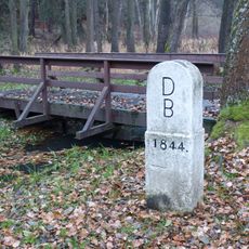
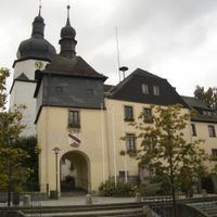
The district was formally established in 1852 and underwent major restructuring in 1972 when parts of neighboring counties merged into it. This administrative reform shaped the area's present structure.

Culture

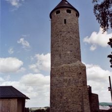
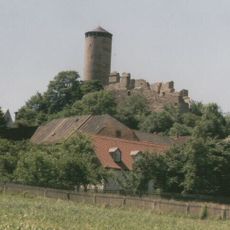
The district emblem features two lions that recall the medieval counties once ruling this region. These historical symbols continue to shape how local residents view their shared identity.

Practical

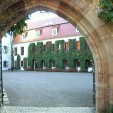
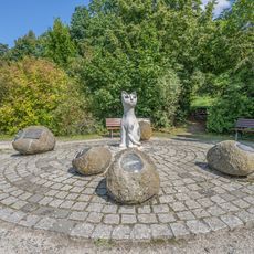
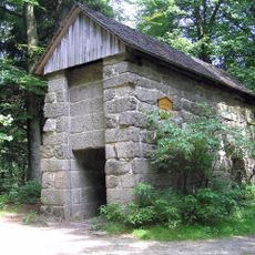
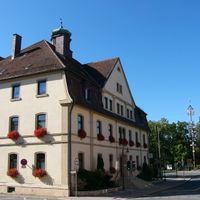
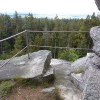
As an administrative district, the region offers varied ways to explore its natural features and communities. The main administrative center in Hof serves as the best starting point for information about regional services and activities.

Did you know?

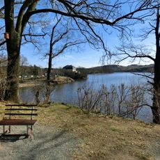
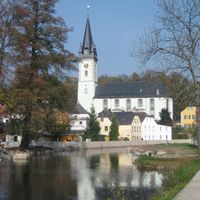
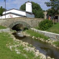
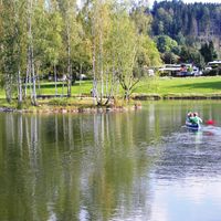
The Saale river originates in the southern portion of the district and flows northward through the mountain landscape. This waterway has shaped the region for centuries and remains central to its geography today.

Location
Inception
July 1, 1862
Capital city
Hof
Elevation above the sea
581 m
Shares border with
Wunsiedel, Hof, Cheb District, Vogtlandkreis, Bayreuth, Kulmbach, Kronach, Saale-Orla-Kreis
GPS coordinates
50.25000,11.83000
Latest update
December 20, 2025 01:45

AroundUs brings together thousands of curated places, local tips, and hidden gems, enriched daily by 60,000 contributors worldwide. Discover all places nearby (Upper Franconia).

« Hof - Rural district in Upper Franconia, Bavaria, Germany » is provided by Around Us (aroundus.com). Images and texts are derived from Wikimedia project under a Creative Commons license. You are allowed to copy, distribute, and modify copies of this page, under the conditions set by the license, as long as this note is clearly visible.

Discover hidden gems everywhere you go!

From secret cafés to breathtaking viewpoints, skip the crowded tourist spots and find places that match your style. Our app makes it easy with voice search, smart filtering, route optimization, and insider tips from travelers worldwide. Download now for the complete mobile experience.

Around Us App Screenshot

A unique approach to discovering new places

Le Figaro

All the places worth exploring

France Info

A tailor-made excursion in just a few clicks

20 Minutes

Around Us
Travel Guide & Maps
Download

Send to your phone

QR Code
1

Open the camera app on your mobile.

2

Point at the QR code with your camera. A notification will appear.

3

Tap the notification to open the link.