Lichtenberg, municipality in Bavaria, Germany
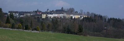
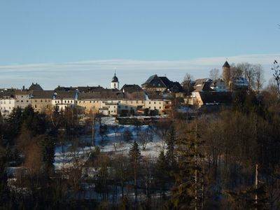
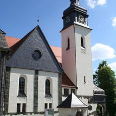
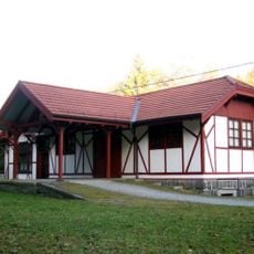
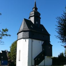
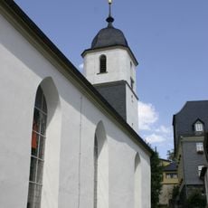
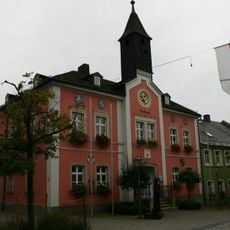
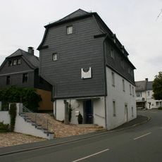
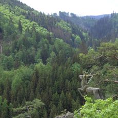
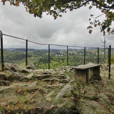
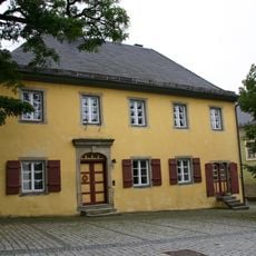
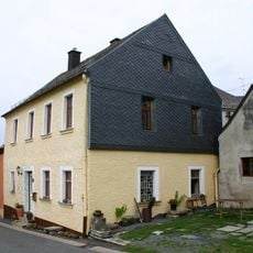
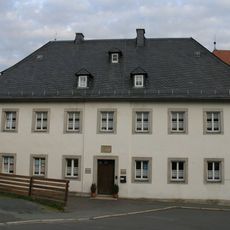
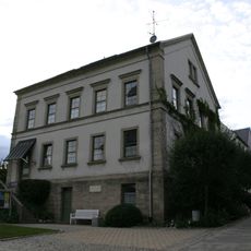
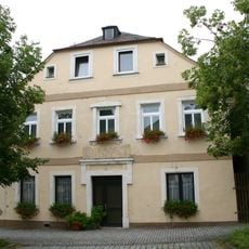
Lichtenberg is a small village in the Hof district of Bavaria, situated on a hill above the Selbitz river valley. The village features old houses, quiet streets, and the natural surroundings of the Franconian Forest, creating a peaceful setting with traditional architecture.
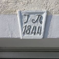
The village traces its origins to the 9th century and was later shaped by various rulers including the dukes of Meranien and counts of Orlamunde. By 1336, Lichtenberg became recognized as an independent settlement with its own regional importance.
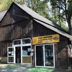
Local traditions come to life during annual festivals where residents share music, handmade crafts, and regional food with visitors. The village's customs and way of life reflect a rural heritage that remains visible in its quiet streets and traditional buildings.
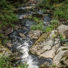
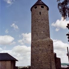
The village sits within the Franconian Forest nature park and offers good opportunities for walking and exploring the surroundings on foot or by bike. Its small size makes it easy to navigate and visit the main spots like the castle ruins.
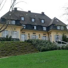
Haus Marteau, an international music center named after famous violinist Henri Marteau who lived in the area, operates within the village. Every three years, the center hosts a major violin competition that draws musicians from around the world.
The community of curious travelers
AroundUs brings together thousands of curated places, local tips, and hidden gems, enriched daily by 60,000 contributors worldwide.