Schwarzenbach an der Saale, municipality of Germany
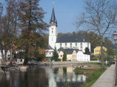
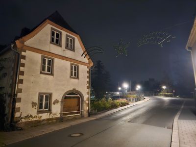
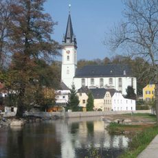
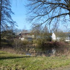
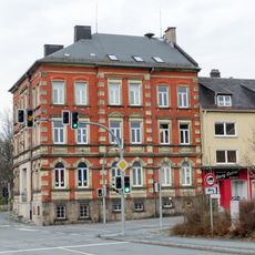
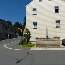
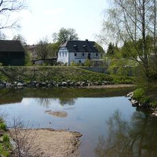
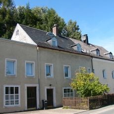
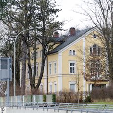
Schwarzenbach an der Saale is a small town in Upper Franconia, nestled in the hills of the Fichtelgebirge mountain range. It has quiet streets with traditional buildings, the Saale River flowing through it, and several museums including the Erika-Fuchs-Haus dedicated to comic art and language history.
The town was founded in 1322 and developed into a place with strong connections to literature and creativity. The writer Jean Paul, who lived in the late 18th century, continues to shape the town's memory today through walking routes that honor his legacy.
The town takes its name from the Saale River and has become known for welcoming artists who create and share their work here. This respect for creative people is visible in local events and the way residents engage with cultural activities throughout the year.
The town center is easy to explore on foot and marked walking trails connect to the surrounding areas, such as the Jean-Paul-Rundweg and Saaleuferweg. A tourist information center provides maps and brochures to help visitors plan their exploration.
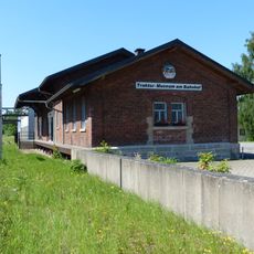
The Oldtimer-Traktormuseum opens only a few days per month and showcases an unexpected collection of farm machinery that reveals the region's agricultural history. This specialized museum attracts both machinery enthusiasts and those curious about rural heritage.
The community of curious travelers
AroundUs brings together thousands of curated places, local tips, and hidden gems, enriched daily by 60,000 contributors worldwide.