Tripoint Federal Republic of Germany, GDR, Czechoslovakia, Tripoint of Bavaria, Saxony and Czechia in the Vogtland borderland
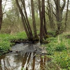
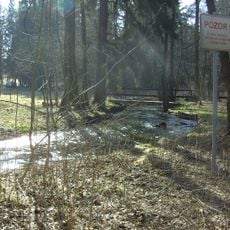
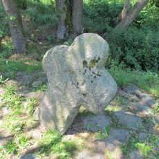
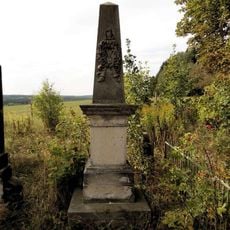
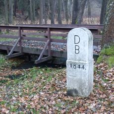
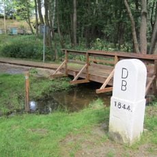
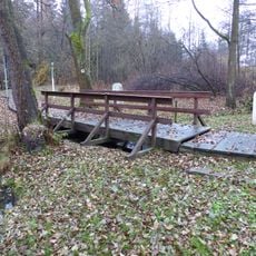
The tripoint marks the exact spot where the borders of West Germany, East Germany, and Czechoslovakia met during the Cold War, identified by a stone marker. The location sits in borderland between Regnitzlosau, Eichigt, and Hranice.
Until 1918 the border between Austria-Hungary and the German Empire ran here, where the frontiers of Bavaria, Bohemia and Saxony met. From 1949 to 1990 the inner-German border and the similarly fortified Czechoslovak border began at this point, part of the Iron Curtain. It became passable on foot only with the border opening of 1989/90.
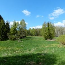
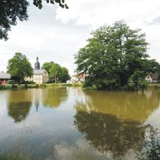
The tripoint lies where the Saxon, Bavarian and Bohemian Vogtland meet, and hiking routes such as the Europäischer Fernwanderweg E3 and the Kammweg pass it. It is a station on the Wanderweg zu Schicksalsorten, a trail recalling border villages that suffered under the GDR border, including the abandoned settlements Hasenreuth, Troschenreuth and Hammerleithen.
The location is reachable by roads connecting Regnitzlosau in Germany and Hranice in the Czech Republic, with parking nearby. Walking to the marker lets you better understand the borderland landscape.
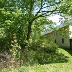
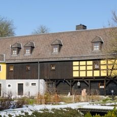
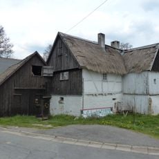
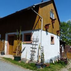
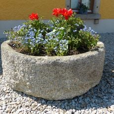
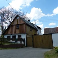
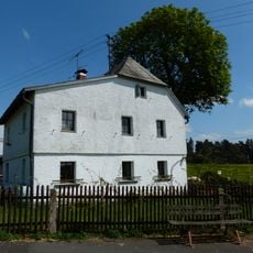
A walled-in millstone on the Czech bank recalls the hamlet Císařský Hamr (Kaiserhammer) and the Dolní mlýn (Hofmannsmühle), which last served as an inn for international through traffic. Border-adjacent buildings were demolished from 1946 to secure the frontier.
The community of curious travelers
AroundUs brings together thousands of curated places, local tips, and hidden gems, enriched daily by 92,594 contributors worldwide.