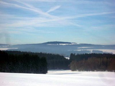
Döbraberg, Mountain summit in Bavaria, Germany
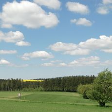
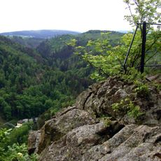
Döbraberg is a mountain summit in the Franconian Forest with an elevation of approximately 795 meters, placing it among the higher peaks in the Hof district. The slopes are covered in forest vegetation, and the summit offers views of the surrounding woodland landscape.
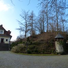
Over centuries, the mountain served as a natural boundary marker in Bavaria and shaped the development of nearby settlements. Its location influenced regional trade patterns and connections between communities in the Franconian Forest area.
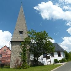
The mountain is valued as part of the local landscape and plays a role in how people connect with nature in the region. Community members engage in forest care and nature conservation activities that reflect long-standing regional traditions.
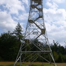
The summit can be reached via marked hiking trails, with parking available at the base and clear signage throughout the Frankenwaldsteig route. The trails are accessible to hikers of various ability levels.
The peak stands in relative isolation within the landscape, which influences local weather patterns around its summit. Wind and cloud formation around the mountain differ noticeably from the surrounding lower areas.
The community of curious travelers
AroundUs brings together thousands of curated places, local tips, and hidden gems, enriched daily by 60,000 contributors worldwide.