
Blankenbach, municipality of Germany
Location: Aschaffenburg district
Elevation above the sea: 190 m
Part of: Verwaltungsgemeinschaft Schöllkrippen
Shares border with: Sommerkahl, Sailauf, Hösbach, Mömbris, Krombach, Schöllkrippen
Website: https://gemeinde-blankenbach.de
GPS coordinates: 50.06667,9.23333
Latest update: March 6, 2025 16:44
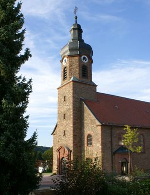
Pfarrkirche
1.7 km
Kaltenberger Mühle
2.2 km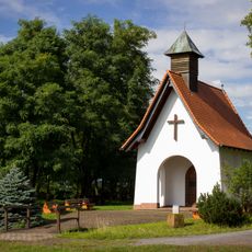
Feldkahler Kapelle
2.3 km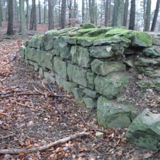
Burgstall Klosterberg
2.2 km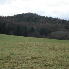
Klosterberg (Spessart)
2.2 km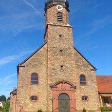
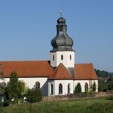
St. Kilian
401 m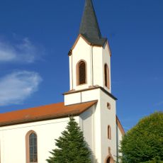
Pfarrkirche
2 km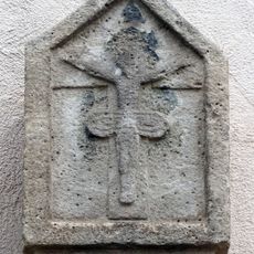
Bildstock
254 m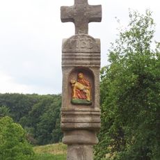
Säulenbildstock
818 m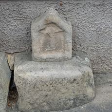
Bildstockkopf
252 m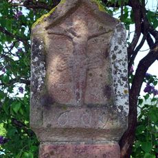
Bildstock
1.7 km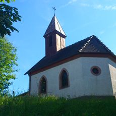
Kapelle
1 km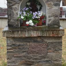
Bildstock
365 m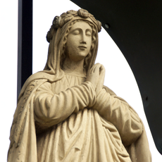
Muttergottesfigur
1.8 km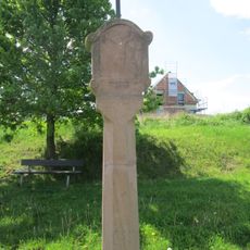
Bildstock
1.5 km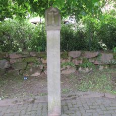
Bildstock
1.9 km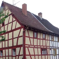
Wohngebäude
255 m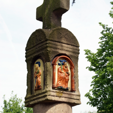
Bildstock
1.6 km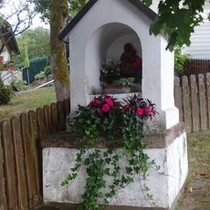
Bildstock
1 km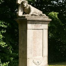
Kriegerdenkmal
1.7 km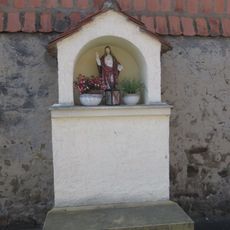
Bildstock
1.2 km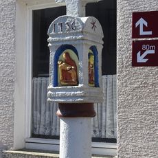
Bildstock
1.4 km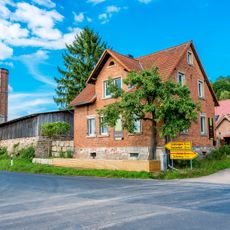
Ziegelei
2 km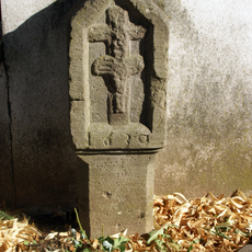
Bildstock
2.1 km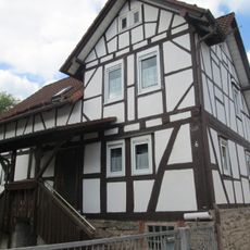
Wohnhaus
2 km
Bildstock
2.3 km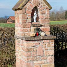
Bildstock
2.1 km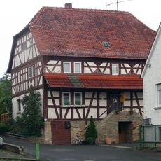
Wohngebäude
343 mReviews
Visited this place? Tap the stars to rate it and share your experience / photos with the community! Try now! You can cancel it anytime.
Discover hidden gems everywhere you go!
From secret cafés to breathtaking viewpoints, skip the crowded tourist spots and find places that match your style. Our app makes it easy with voice search, smart filtering, route optimization, and insider tips from travelers worldwide. Download now for the complete mobile experience.

A unique approach to discovering new places❞
— Le Figaro
All the places worth exploring❞
— France Info
A tailor-made excursion in just a few clicks❞
— 20 Minutes