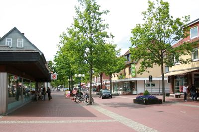
Munster, Lower Saxony, Military garrison town in Heidekreis, Germany.
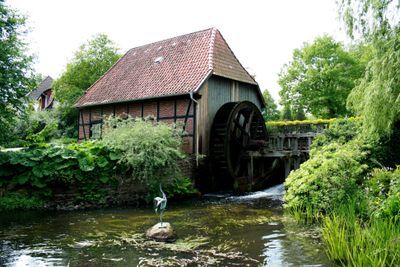
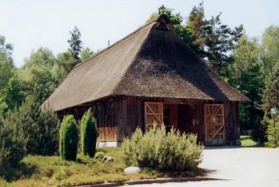
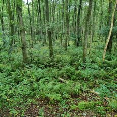
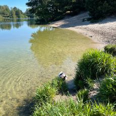
Munster is a municipality in the Heidekreis district of Lower Saxony and comprises the settlements of Trauen, Breloh and Oerrel across an area of 193 square kilometers. The territory lies in the northeast of the Lüneburg Heath and features wide heath plains and forested zones that occupy roughly half of the municipal area.
The first documented mention of the settlement dates from 1252, when the area was still part of a heath village. Military use began in 1893 with the establishment of a training ground by an Imperial infantry battalion under the command of Paul von Hindenburg.
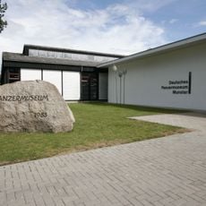
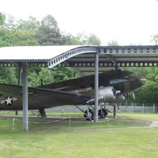
The German Tank Museum displays over 100 vehicles spanning different eras of military history and offers insight into the technical evolution of armored combat machines. Visitors follow a chronological path through the exhibition halls that runs from World War I to the present day and documents successive generations of battle tanks.
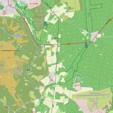
Regional trains connect the town with Bremen, Hamburg and Hanover, making day trips to larger northern German cities possible. The municipality is easily accessible by car, as several country roads run through the area and parking spaces are available in the center.
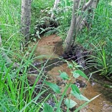
The military training areas Munster North and Munster South occupy roughly half of the municipal territory and remain closed to the public. These protected zones have become a refuge for rare plant and animal species that thrive in the undisturbed heath landscapes.
The community of curious travelers
AroundUs brings together thousands of curated places, local tips, and hidden gems, enriched daily by 60,000 contributors worldwide.