Enable Location

We need your location to show you interesting places around you

Discover nearby places

Find interesting locations and hidden gems around you

Precise directions

Get accurate directions and distances to places

Your location is never shared with other users. It's only used when you tap the location button.

Haigerloch

Log in to your account

Start exploring — it's free

Trusted by 60,659 travelers worldwide

Continue with Google
Continue with Apple
or

We will send you a code to connect

By continuing, you accept our Terms and Conditions and our Privacy Policy

Check your inbox

We've sent a pincode in your inbox. Please enter the code below.

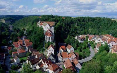
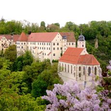
Haigerloch, Medieval town in Zollernalbkreis, Germany

Description

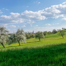
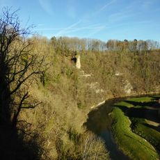
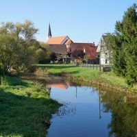
Haigerloch is built on a limestone rock formation and traversed by the Eyach River, with its neighborhoods situated at varying elevations ranging from around 400 to 550 meters. This varied terrain creates several distinct areas, each shaped by its own elevation and position.

History

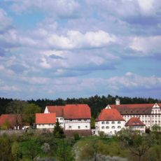
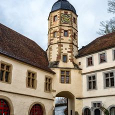
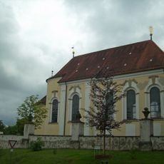
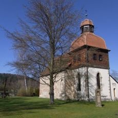
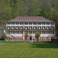
The town was first documented in 1095, and the castle complex as it stands today was begun in 1567 by Christoph von Hohenzollern-Haigerloch. These two moments mark when the place entered written records and when its visible form took shape.

Culture

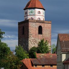
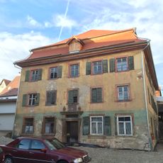
The town carries strong Swabian character that you notice in local festivals and the way houses are built across its neighborhoods. Walking through the streets, you see how this regional identity shapes daily life here.

Practical

The town is accessible via regional roads connecting to larger centers, with lodging options spread across its neighborhoods. The varying elevations mean that visitors should expect some uphill and downhill walks when exploring.

Did you know?

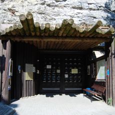
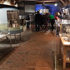
The Atomkeller-Museum, housed in a former beer cellar beneath the castle church, displays a replica of a nuclear research reactor from World War II. This unexpected museum tells a surprising story about an unusual chapter in the town's past.

Location
Elevation above the sea
482 m
Shares border with
Balingen, Geislingen, Grosselfingen, Rosenfeld, Starzach, Rangendingen, Sulz am Neckar, Empfingen, Horb am Neckar
GPS coordinates
48.36752,8.79851
Latest update
December 20, 2025 13:58

AroundUs brings together thousands of curated places, local tips, and hidden gems, enriched daily by 60,000 contributors worldwide. Discover all places nearby (Zollernalbkreis).

« Haigerloch - Medieval town in Zollernalbkreis, Germany » is provided by Around Us (aroundus.com). Images and texts are derived from Wikimedia project under a Creative Commons license. You are allowed to copy, distribute, and modify copies of this page, under the conditions set by the license, as long as this note is clearly visible.

Discover hidden gems everywhere you go!

From secret cafés to breathtaking viewpoints, skip the crowded tourist spots and find places that match your style. Our app makes it easy with voice search, smart filtering, route optimization, and insider tips from travelers worldwide. Download now for the complete mobile experience.

Around Us App Screenshot

A unique approach to discovering new places

Le Figaro

All the places worth exploring

France Info

A tailor-made excursion in just a few clicks

20 Minutes

Around Us
Travel Guide & Maps
Download

Send to your phone

QR Code
1

Open the camera app on your mobile.

2

Point at the QR code with your camera. A notification will appear.

3

Tap the notification to open the link.