
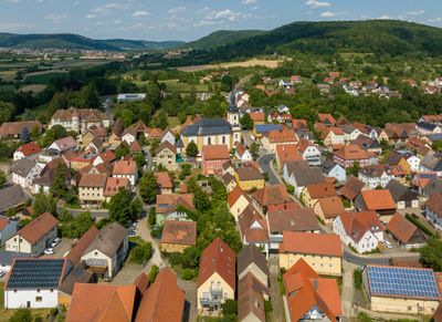
Pretzfeld, market municipality in Landkreis Forchheim in Germany
Location: Forchheim
Elevation above the sea: 293 m
Website: http://Pretzfeld.de
GPS coordinates: 49.75000,11.16667
Latest update: March 4, 2025 03:12
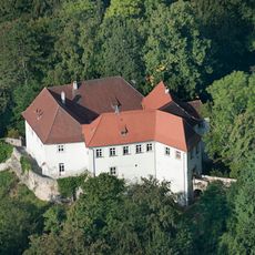
Schloss
5.4 kmRöthelfels
5.7 km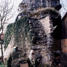
Wolkenstein Castle
5.3 km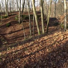
Burgstall Dietrichstein (Lützelsdorf)
2.7 km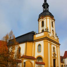
St. Kilian
883 m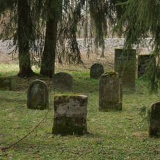
Jüdisch
2.1 km
Burgstall Altes Schloss
6.1 km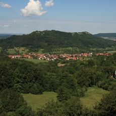
Ringwall Ehrenbürg
3.7 km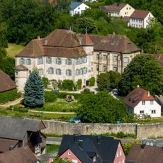
Schloss
936 m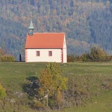
Sankt Walpurgis
3.4 km
Burgstall Thüngfelderstein
5.9 km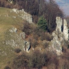
Zwillingsfelsen am Walberla-Berg SSE von Kirchehrenbach
3.3 km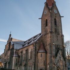
Evangelische
3.6 km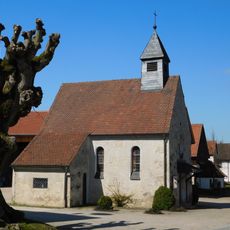
Ortskapelle
4.7 km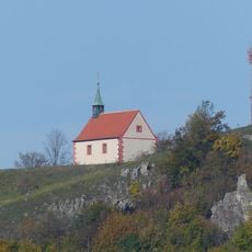
Sankt Walburgiskapelle auf dem Ehrenbürg
3.4 km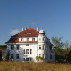
Bauernhaus
637 m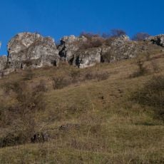
Ehrenbürg
3.5 km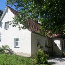
Bürgerzentrum
5.1 km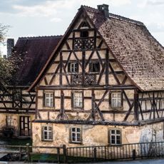
Wassermühle
853 m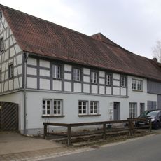
Bauernhaus
1.6 km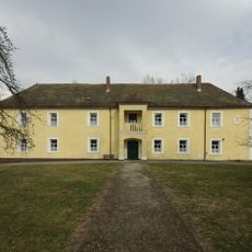
Schloss
1.7 km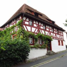
Cultural heritage D-4-74-161-14 in Pretzfeld
878 m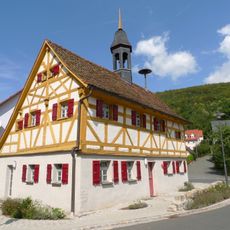
Bürgerzentrum
4.2 km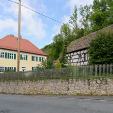
Pfarrhof
3.6 km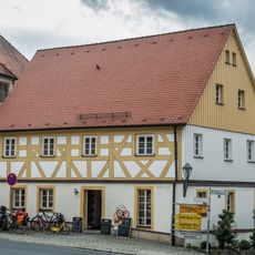
Bauernhaus
859 m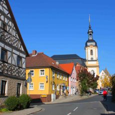
Ensemble Hauptstraße/Schlossberg
870 m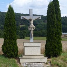
Wegkreuz
1.7 km
Cultural heritage D-4-6233-0285 in Pretzfeld
3.6 kmVisited this place? Tap the stars to rate it and share your experience / photos with the community! Try now! You can cancel it anytime.
Discover hidden gems everywhere you go!
From secret cafés to breathtaking viewpoints, skip the crowded tourist spots and find places that match your style. Our app makes it easy with voice search, smart filtering, route optimization, and insider tips from travelers worldwide. Download now for the complete mobile experience.

A unique approach to discovering new places❞
— Le Figaro
All the places worth exploring❞
— France Info
A tailor-made excursion in just a few clicks❞
— 20 Minutes