Forchheim District
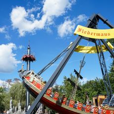
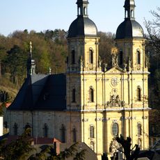
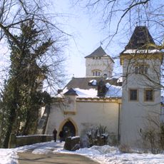
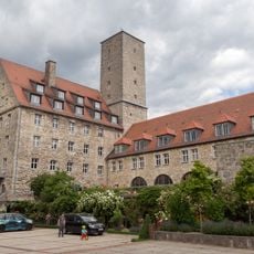
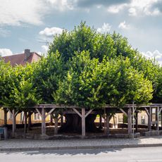
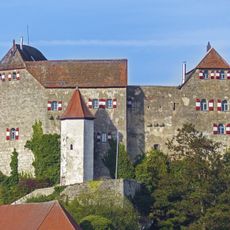
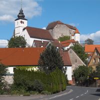
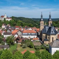
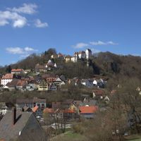
Forchheim District, Administrative district in Upper Franconia, Bavaria, Germany
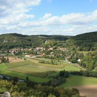
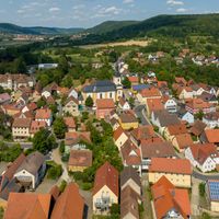
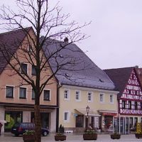
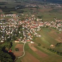
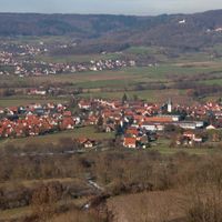
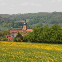
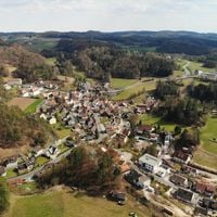
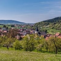
Forchheim District is an administrative division in Upper Franconia positioned between Bamberg and Bayreuth, covering approximately 643 square kilometers (248 square miles). The territory is shaped by the Regnitz River and Frankish Alb hills, encompassing 29 municipalities with a combined population of around 116,000 residents.
The territory took its current shape in 1972 through the merger of Forchheim district with portions of Ebermannstadt and Pegnitz districts. This reorganization was part of broader administrative reforms that reshaped the region.
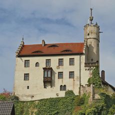
The coat of arms displays a lion representing Bamberg, a key symbolizing the former county of Schlüsselberg, and a trout standing for the city of Forchheim. These symbols tell the story of the different territories and towns that make up this region.
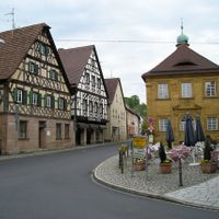
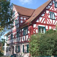
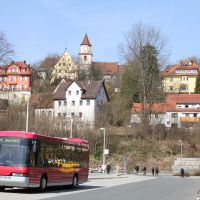
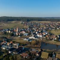
Visitors can access the various municipalities through good transportation connections to Nuremberg and Bamberg, which serve as central hubs for further travel in the region. The towns are positioned at comfortable distances from each other, making it easy to plan different routes for exploring the area.
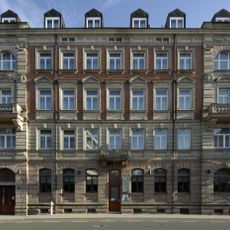
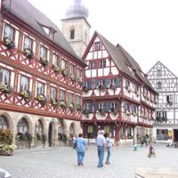
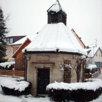
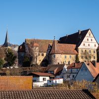
The capital city Forchheim houses in its town hall what is documented as the largest physical advent calendar, using 24 windows of the historic building. This unusual decoration allows visitors during the holiday season to experience a daily reveal on the town hall facade.
Location: Upper Franconia
Inception: July 1, 1862
Capital city: Forchheim
Elevation above the sea: 377 m
Shares border with: Bamberg, Bayreuth, Nürnberger Land, Erlangen-Höchstadt
Website: http://landkreis-forchheim.de
GPS coordinates: 49.75000,11.08333
Latest update: December 14, 2025 12:51
Synagoge Buttenheim
6.8 km
Burg Rabenstein
22.2 km
Castle Rabenstein
22.2 km
Erlebnispark Schloss Thurn
9.4 km
Basilica Gößweinstein
18.4 km
Vorburg
15.3 km
Neideck Castle
12.6 km
Feuerstein Castle
6.9 km
Gößweinstein Castle
18.2 km
Sophienhöhle
22.7 km
Druidenhain
13.3 km
Bing Cave
11.8 km
Kitzmann-Bräu
18.1 km
Riesenburg
16.5 km
Kolosseum
18.2 km
Rabeneck Castle
19.3 km
Schloss
13.6 km
Schloss Ermreuth
14.5 km
Kasberger Linde
13.7 km
Tanzlinde
10.1 km
Schlossgarten Erlangen
17.8 km
Hiltpoltstein Castle
19.9 km
Wildpark Hundshaupten
11.2 km
Burgruine
21.1 km
Langer Johann
17.4 km
Margravial Palace Erlangen
17.9 km
Himbeerpalast
18.4 km
Oswaldhöhle
14.7 kmVisited this place? Tap the stars to rate it and share your experience / photos with the community! Try now! You can cancel it anytime.
Wiesenttal
Pretzfeld
Neunkirchen am Brand
Igensdorf
Hiltpoltstein
Gößweinstein
Egloffstein
Eggolsheim
Gräfenberg
Forchheim
Ebermannstadt
Langensendelbach
Kunreuth
Kleinsendelbach
Kirchehrenbach
Hetzles
Heroldsbach
Hausen
Hallerndorf
Effeltrich
Dormitz
Wiesenthau
Weißenohe
Weilersbach
Unterleinleiter
Poxdorf
Pinzberg
Obertrubach
Leutenbach
Discover hidden gems everywhere you go!
From secret cafés to breathtaking viewpoints, skip the crowded tourist spots and find places that match your style. Our app makes it easy with voice search, smart filtering, route optimization, and insider tips from travelers worldwide. Download now for the complete mobile experience.
A unique approach to discovering new places❞
— Le Figaro
All the places worth exploring❞
— France Info
A tailor-made excursion in just a few clicks❞
— 20 Minutes