Neunkirchen am Brand, market municipality in Landkreis Forchheim in Germany
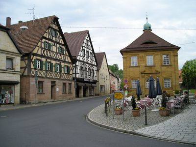
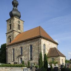
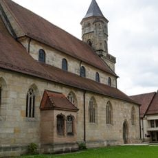
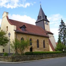
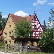
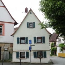
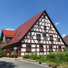
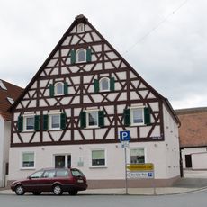
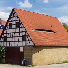
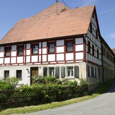
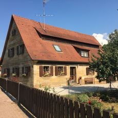
Neunkirchen am Brand is a small market town in Upper Franconia with a medieval core and traditional stone houses grouped around St. Michael's Church. The municipality includes several districts such as Baad, Ebersbach, and Ermreuth, with the market town itself serving as the economic and cultural center.
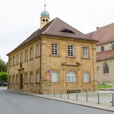
The town developed around a monastery founded in 1314 that became the spiritual center of the region. The granting of market rights in 1410 marked its growth as a trading center, while its incorporation into Bavaria in 1803 began a period of transformation.
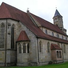
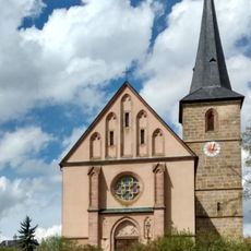
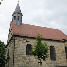
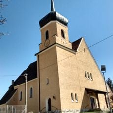
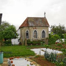
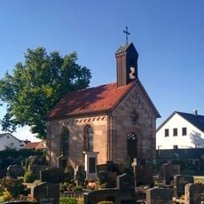
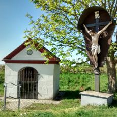
The name Neunkirchen am Brand refers to nine churches that once defined religious life in the community. This heritage remains visible today in the processions and festivals that structure the year and bring residents together.
The market town offers access to local shops, cafes, and restaurants that meet everyday needs and dining. Its location on the Castle Road between Mannheim and Prague makes it a practical stop for those interested in history and nature walks.
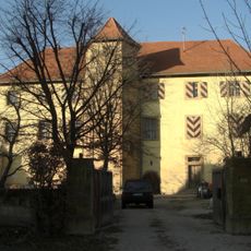
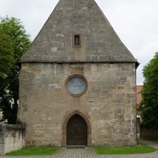
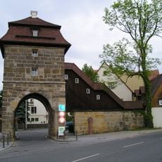
In Ermreuth, a district of the municipality, stands a former synagogue that bears witness to the region's Jewish history and now serves as a community center. The Erleinhofer Tor, a preserved city gate from the medieval fortifications, is still inhabited today and shows the practical continuity of medieval architecture.
The community of curious travelers
AroundUs brings together thousands of curated places, local tips, and hidden gems, enriched daily by 60,000 contributors worldwide.