Ebermannstadt, town of Germany
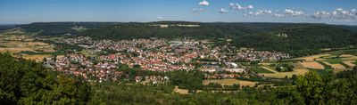
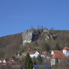
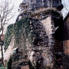
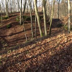
Ebermannstadt is a town in the Forchheim District in Upper Franconia, located at the edge of Franconian Switzerland. It features a historic town center surrounded by residential areas, with forested hills and valleys defining its setting.
The town developed as a settlement in Franconian Switzerland and grew significant due to its location along important trade routes. Over centuries it remained a regional trading hub, benefiting from proximity to natural resources and geographic advantages.
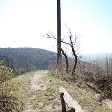
The town is accessible by public transport and provides basic infrastructure with shops, cafes, and services in the center. Visitors will find easy access to walking trails and the surrounding natural landscape, making exploration of the region straightforward.
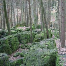
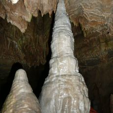
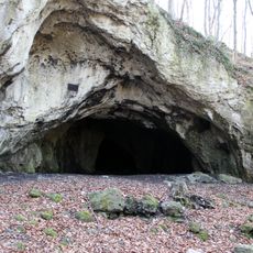
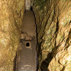
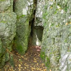
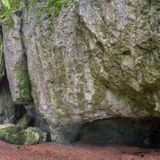
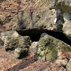
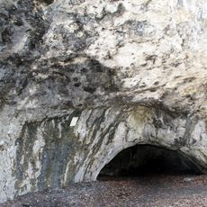
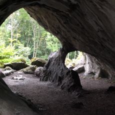
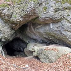
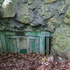
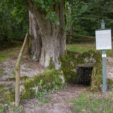
The town sits at the edge of Franconian Switzerland, a region known for caves and limestone cliffs that draw hikers year-round. This direct gateway to one of Bavaria's most interesting natural areas makes it a practical base for exploration.
The community of curious travelers
AroundUs brings together thousands of curated places, local tips, and hidden gems, enriched daily by 60,000 contributors worldwide.