
Oberdachstetten, municipality of Germany
Location: Ansbach
Elevation above the sea: 441 m
Shares border with: Lehrberg, Colmberg
Website: http://oberdachstetten.de
GPS coordinates: 49.41528,10.42306
Latest update: March 4, 2025 22:08
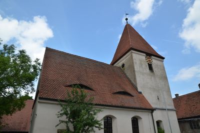
St. Jakobus und Nikolaus
2.8 km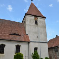
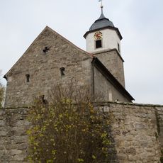
St. Jakob
3.3 km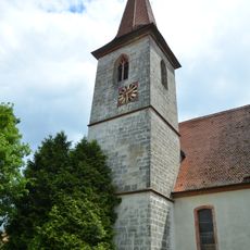
St. Maria
4.1 km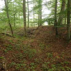
Turmhügel Altes Schloss
5.5 km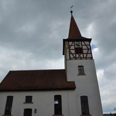
St. Kilian und Kunigunde
4.2 km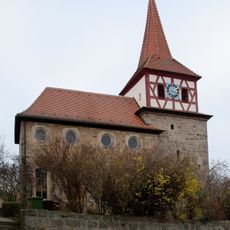
Allerheiligen
4.1 km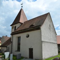
St. Peter und Paul
6 km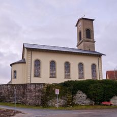
St. Bartholomäus
141 m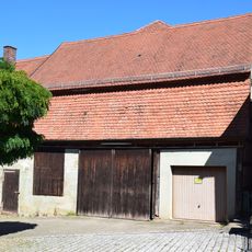
Scheune
27 m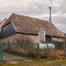
Scheune
5.5 km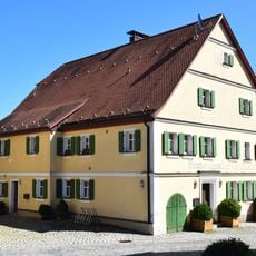
Ehemaliger Brauereigasthof
50 m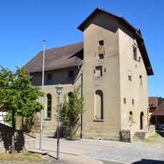
Brauerei
70 m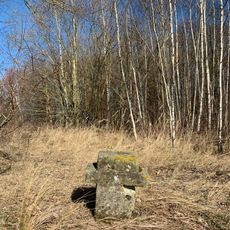
Steinkreuz
2.9 km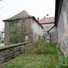
Ehemaliges Schul- und Mesnerhaus
2.8 km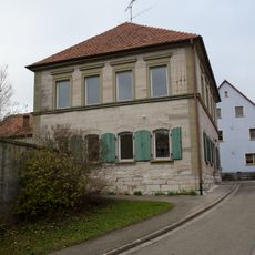
Ehemaliges Schulhaus
2.9 km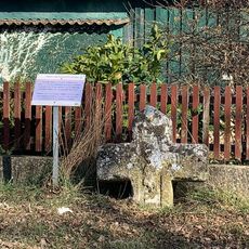
Steinkreuz in Poppenbach am Dorfplatz
3.5 km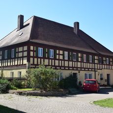
Former brewery restaurant
3.2 km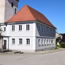
Ehemaliges Schulhaus
3.3 km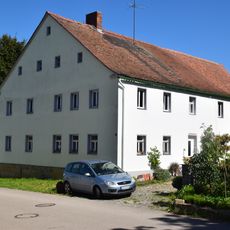
Wohnhaus
3.3 km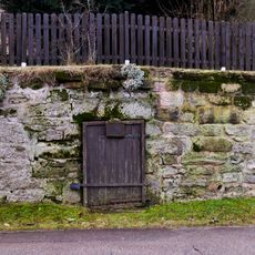
Felsenkeller
99 m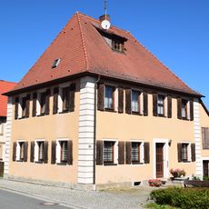
Ehemaliges Forsthaus
119 m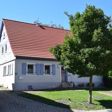
Wohnhaus
105 m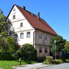
Wohnhaus
127 m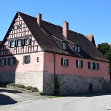
Wohnhaus
112 m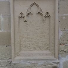
Ehemaliges Pfarrhaus
4.1 km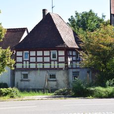
Wohnhaus
36 m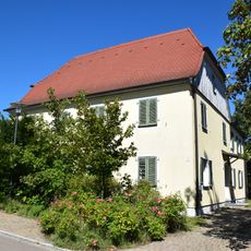
Pfarrhaus
206 m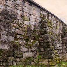
Friedhofsmauer
140 mVisited this place? Tap the stars to rate it and share your experience / photos with the community! Try now! You can cancel it anytime.
Discover hidden gems everywhere you go!
From secret cafés to breathtaking viewpoints, skip the crowded tourist spots and find places that match your style. Our app makes it easy with voice search, smart filtering, route optimization, and insider tips from travelers worldwide. Download now for the complete mobile experience.

A unique approach to discovering new places❞
— Le Figaro
All the places worth exploring❞
— France Info
A tailor-made excursion in just a few clicks❞
— 20 Minutes