
Attenhofen, municipality of Germany
Location: Kelheim
Elevation above the sea: 465 m
Part of: Verwaltungsgemeinschaft Mainburg
Shares border with: Volkenschwand, Mainburg
Website: https://attenhofen.de
GPS coordinates: 48.65000,11.85000
Latest update: March 2, 2025 22:12
St. Korona
4.3 km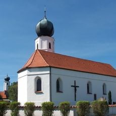
St. Bartholomäus
4.3 km
Katholische Kirche Sankt Jakobus der Ältere
2.7 km
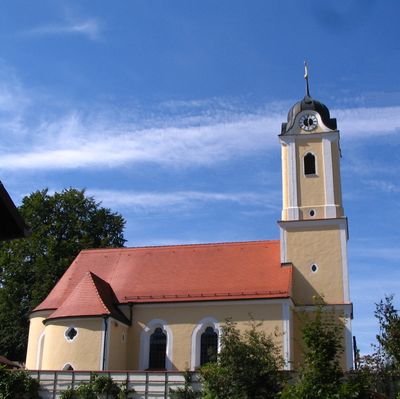
Katholische Pfarrkirche St. Nikolaus
296 m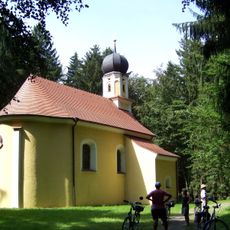
Katholische Wallfahrtskirche St. Simon
1.4 km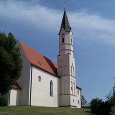
St. Johannes Baptist und Evangelist
2.9 km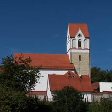
Katholische Pfarrkirche St. Georg
2.3 km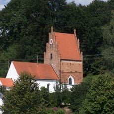
Katholische Kirche St. Xystus
4 km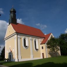
St. Anton
5.1 km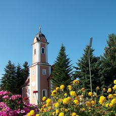
Kapelle St. Johann Baptist und Evangelist
3.8 km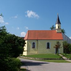
Kapelle Sankt Nikolaus
5.5 km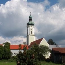
St. Michael
3.2 km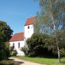
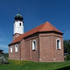
Katholische Kirche St. Katharina
730 m
Katholische Kapelle St. Andreas
3.1 km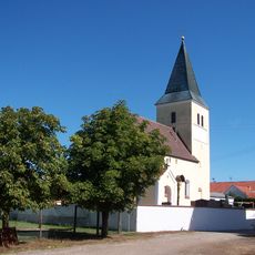
Katholische Kapelle Sankt Stephan
4.8 km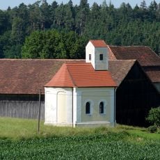
Katholische Kapelle Maria Hilf
3.2 km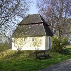
Feldkapelle
5.1 km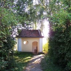
Feldkapelle zu den Vierzehn Nothelfern
5 km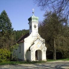
Kapelle
4.6 km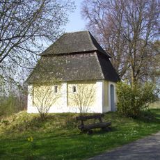
Landschaftsschutzgebiet St. Anton
5.1 km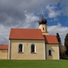
Katholische Kapelle St. Nikolaus
4.5 km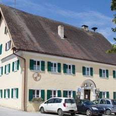
Gasthaus
5.1 km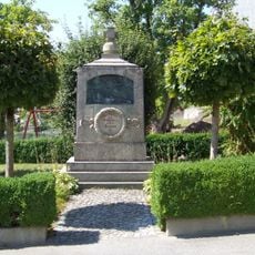
Kriegerdenkmal für die Gefallenen beider Weltkriege, später mit Gefallenen des Zweiten Weltkriegs ergänzt
3.2 km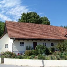
Bauernhaus
3.1 km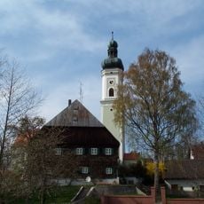
Pfarrhof
3.2 km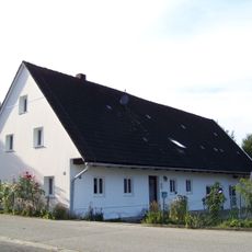
Wohngebäude eines ehemaligen Hakenhofs
4.6 km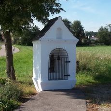
Bildstock St. Petrus
4.4 km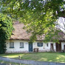
Bauernhaus
3.3 kmReviews
Visited this place? Tap the stars to rate it and share your experience / photos with the community! Try now! You can cancel it anytime.
Discover hidden gems everywhere you go!
From secret cafés to breathtaking viewpoints, skip the crowded tourist spots and find places that match your style. Our app makes it easy with voice search, smart filtering, route optimization, and insider tips from travelers worldwide. Download now for the complete mobile experience.

A unique approach to discovering new places❞
— Le Figaro
All the places worth exploring❞
— France Info
A tailor-made excursion in just a few clicks❞
— 20 Minutes