Kelheim, Rural district in Lower Bavaria, Germany
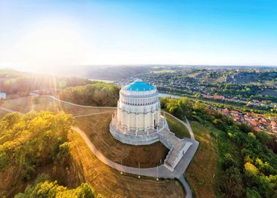
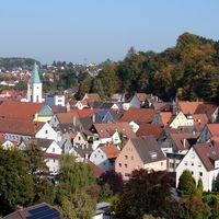
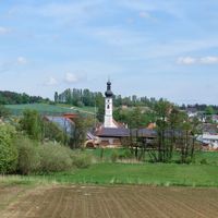
Kelheim is an administrative district in Lower Bavaria featuring rolling hills and a mix of small towns and rural communities spread across its territory. The landscape is shaped by two major rivers that carve through the terrain, creating valleys dotted with forests and open fields.
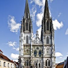
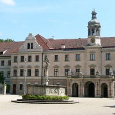
The area took its current administrative form in the mid-19th century when several smaller territories were unified under one authority. Since then, the region has grown into an important economic and cultural center for Lower Bavaria.
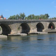
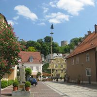
The area is shaped by its river valleys and the communities that have made their homes here for generations. The way locals interact with the Danube and its tributary rivers has influenced daily customs and traditions over time.
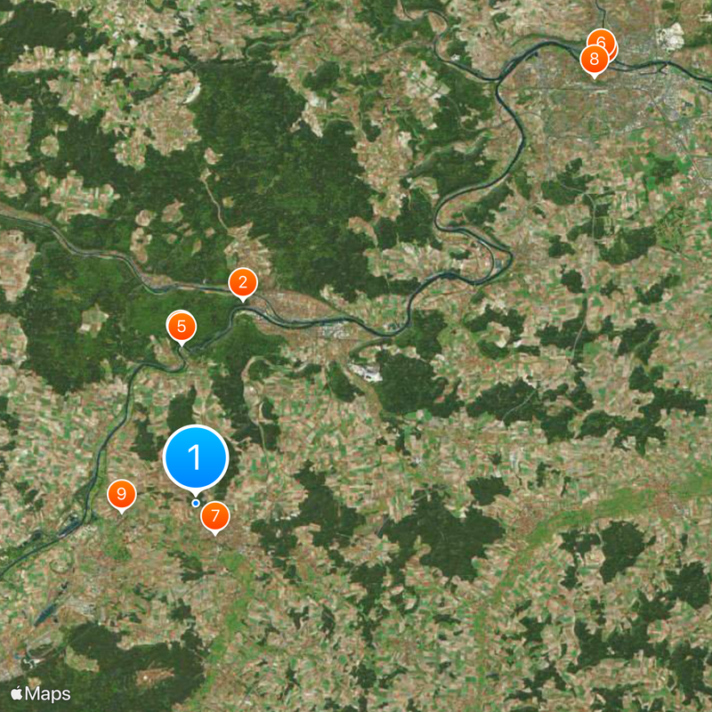
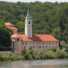
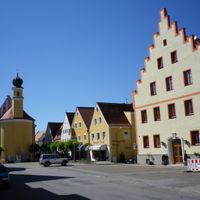
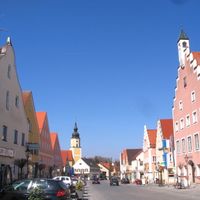
Visitors will find various smaller attractions here, from walking along river paths to exploring village structures and local markets. It helps to plan for longer travel times between locations, since distances can be greater and transportation connections are more limited in rural areas.
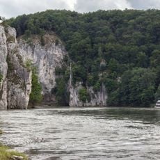
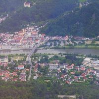
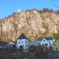
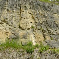
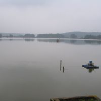
At the northwestern edge of the district, the Altmühl and Danube rivers meet at a confluence that marks a natural junction between different geological zones. This meeting point is visible and easily accessible, making it a special spot for paddlers and nature observers.
Location: Lower Bavaria
Inception: July 1, 1862
Capital city: Κέλχαϊμ
Elevation above the sea: 369 m
Shares border with: Landshut, Regensburg, Neumarkt, Eichstätt district, Pfaffenhofen, Freising
Website: http://landkreis-kelheim.de
GPS coordinates: 48.83000,11.83000
Latest update: December 18, 2025 20:12
Befreiungshalle
10.1 km
Regensburg Cathedral
28.8 km
Weltenburger Enge
7.8 km
Weltenburg Abbey
7.7 km
Stone Bridge
28.9 km
Kuchlbauer Tower
1.7 km
St. Emmeram's Palace
28.2 km
Designated spa town
3.6 km
Castra Regina
28.9 km
St. Emmeram's Abbey
28.2 km
Burg Prunn
14.9 km
St. Emmeram's Basilica
28.2 km
Altes Rathaus, Regensburg
28.7 km
Old town of Regensburg with Stadtamhof
28.6 km
Wooden bridge at Essing
12.6 km
Gaststätte Röhrl
22.2 km
Porta Praetoria in Regensburg
28.9 km
Scots Monastery
28.2 km
Goldener Turm
28.6 km
Castra Abusina
4.9 kmMedieval Tombstones of the Regensburg Jewish Cemetery
9.1 km
Prüfening Abbey
25.4 km
Museum der Bayerischen Geschichte
29.1 km
Schloss Pürkelgut
29.2 km
Braunau in Rohr Abbey
12.1 km
St. Georg und Martin
7.7 km
Theater Regensburg
28.4 km
Nibelungenkaserne Regensburg
27.7 kmVisited this place? Tap the stars to rate it and share your experience / photos with the community! Try now! You can cancel it anytime.
Abensberg
Кельгайм
Mainburg
Neustadt a.d.Donau
Riedenburg
Bad Abbach
Essing
Langquaid
Painten
Rohr in Niederbayern
Siegenburg
Aiglsbach
Attenhofen
Biburg
Elsendorf
Hausen
Herrngiersdorf
Ihrlerstein
Kirchdorf
Saal an der Donau
Teugn
Train
Volkenschwand
Wildenberg
Dürnbucher Forst
Frauenforst
Hacklberg
Hienheimer Forst
Discover hidden gems everywhere you go!
From secret cafés to breathtaking viewpoints, skip the crowded tourist spots and find places that match your style. Our app makes it easy with voice search, smart filtering, route optimization, and insider tips from travelers worldwide. Download now for the complete mobile experience.
A unique approach to discovering new places❞
— Le Figaro
All the places worth exploring❞
— France Info
A tailor-made excursion in just a few clicks❞
— 20 Minutes