Lower Bavaria

Log in to your account

AroundUs is a community-driven map of interesting places, built by curious explorers like you. It grows with every review, story, and photo you share.
Connect to save your favorite spots, contribute locations, and create personalized routes.
Continue with Google
Continue with Apple
Continue with X
Continue with Facebook
Continue with email
By continuing, you accept our Terms and Conditions and our Privacy Policy
Create an account
Add to collection
Map
Suggest a change
Share

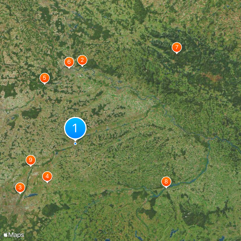
Lower Bavaria, Administrative region in southeastern Bavaria, Germany

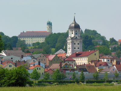
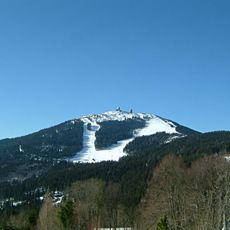
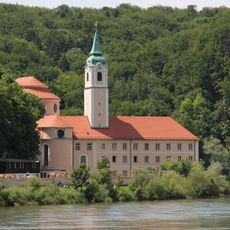
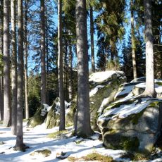
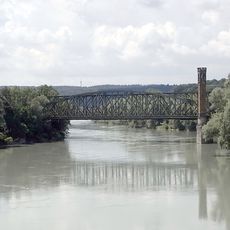
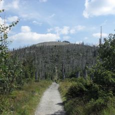
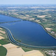
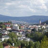
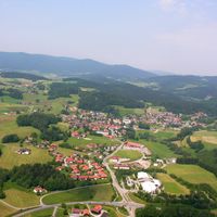
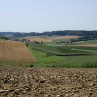
Lower Bavaria is an administrative district in southeastern Bavaria that covers river valleys, agricultural plains, and forested hills. The area stretches from the foothills of the pre-Alps to the broad fields along the Danube, which crosses the territory from west to east.

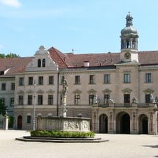
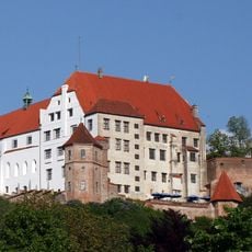
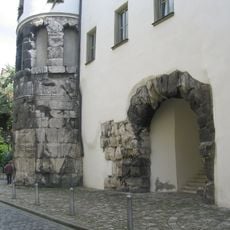
The area developed from Celtic settlements, experienced Roman occupation, and became a central Bavarian administrative unit in 1806. The reorganization followed centuries of shifting territorial borders and princely allegiances.

Many village names trace back to Celtic and Roman roots, still visible on road signs and in local pronunciation. Taverns serve recipes that combine Danube fish and regional grains, while most villages maintain their own breweries or ties to a nearby one.

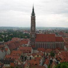
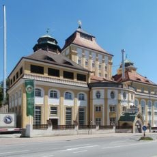
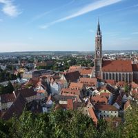
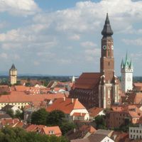
The district government in Landshut coordinates public services, educational programs, and economic initiatives across the administrative territory. Visitors can find information about municipal facilities and local projects through regional contact points in larger towns.

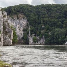
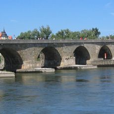
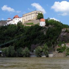
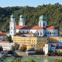
Three major rivers – the Danube, Inn, and Ilz – meet in Passau, forming a natural boundary that has shaped trade and transport for centuries. Each river carries a different water color, visible at the confluence before the streams blend together.

Location: Bavaria

Capital city: Landshut

Elevation above the sea: 320 m

Shares border with: Upper Bavaria, Upper Palatinate, Jihozápad, Innviertel, Mühlviertel

Website: https://bezirk-niederbayern.de

GPS coordinates: 48.53750,12.15667

Latest update: December 15, 2025 05:33

Photos
Reviews

Visited this place? Tap the stars to rate it and share your experience / photos with the community! Try now! You can cancel it anytime.

« Lower Bavaria - Administrative region in southeastern Bavaria, Germany » is provided by Around Us (aroundus.com). Images and texts are derived from Wikimedia project under a Creative Commons license. You are allowed to copy, distribute, and modify copies of this page, under the conditions set by the license, as long as this note is clearly visible.

Discover hidden gems everywhere you go!

From secret cafés to breathtaking viewpoints, skip the crowded tourist spots and find places that match your style. Our app makes it easy with voice search, smart filtering, route optimization, and insider tips from travelers worldwide. Download now for the complete mobile experience.

Around Us App Screenshot

A unique approach to discovering new places

Le Figaro

All the places worth exploring

France Info

A tailor-made excursion in just a few clicks

20 Minutes