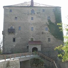
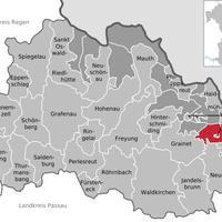
Freyung-Grafenau, Administrative district in Lower Bavaria, Germany
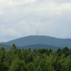
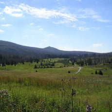
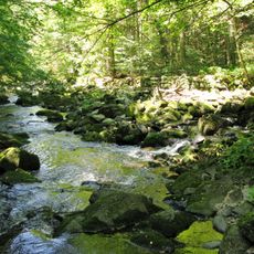
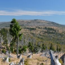
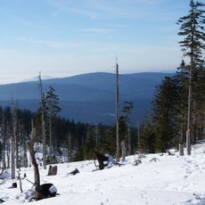
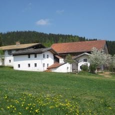
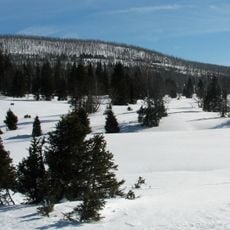
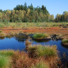
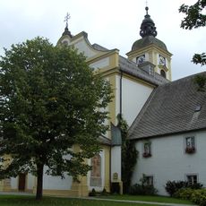
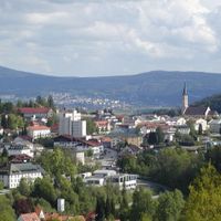
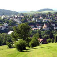
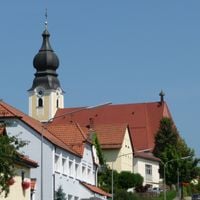
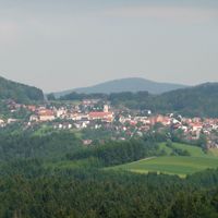
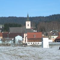
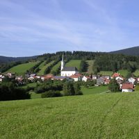
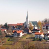
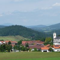
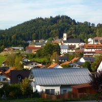
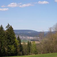
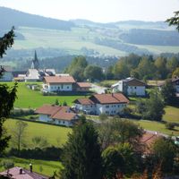
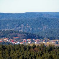
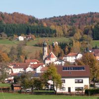
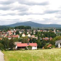
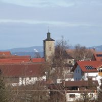
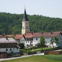
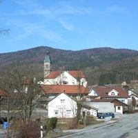
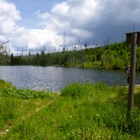
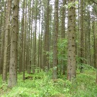
The district of Freyung-Grafenau extends across 984 square kilometers of land, encompassing 25 municipalities and substantial portions of the Bavarian Forest National Park.
The formation of Freyung-Grafenau district occurred on July 1, 1972, through the combination of the former districts of Grafenau and Wolfstein.
The district coat of arms displays a wolf representing Wolfstein territory and a bear symbolizing Grafenau, reflecting the merged administrative regions.
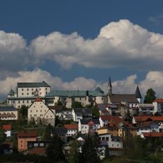
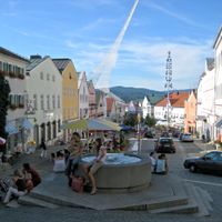
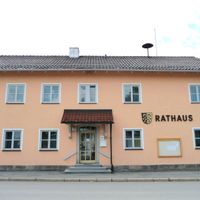
The district capital Freyung serves as the main administrative center, providing government services and infrastructure for approximately 79,603 residents.
The district contains multiple designated forest areas, including the Annathaler Wald, Graineter Wald, and Waldhäuserwald, contributing to its natural landscape.
Location: Lower Bavaria
Inception: July 1, 1972
Capital city: Freyung
Elevation above the sea: 693 m
Shares border with: Regen, Deggendorf, Passau, Klatovy District, Prachatice District, Český Krumlov District, Rohrbach District
Website: http://freyung-grafenau.de
GPS coordinates: 48.83000,13.50000
Latest update: May 27, 2025 06:54
Šumava National Park
25.7 km
Dreisessel
22.9 km
Großer Rachel
18.4 km
Brotjacklriegel
20.8 km
Brotjacklriegel transmitter
20.7 km
Wolfstein Castle
3.6 km
Bayernpark Feriendorf Grafenau
8.4 km
Březník
15.8 km
Buchberger Leite
1.4 km
Plattenhausenriegel
15.4 km
Soumarský most
25.3 km
Haidel
13.1 km
Englburg
16.2 km
Lower Bavarian Open-Air Museums
12.6 km
Burg Saldenburg
12.3 km
Moorberg
13.9 km
Soumarské rašeliniště
25.8 km
Kunžvart
18.4 km
Schloss Fürstenstein
17.5 km
Erlauzwieseler See
16 km
Bayerischer Plöckenstein
24.8 km
Austria–Czech Republic–Germany tripoint
25.7 km
Rinchnach Priory
25.7 km
Bread oven
24 km
Büchelstein
23.9 km
Kaple Panny Marie (Stožec)
24.1 km
Schloss Fürsteneck
13.1 km
Schneekirche
12.9 kmReviews
Visited this place? Tap the stars to rate it and share your experience / photos with the community! Try now! You can cancel it anytime.
Freyung
Grafenau
Waldkirchen
Perlesreut
Röhrnbach
Schönberg
Eppenschlag
Fürsteneck
Grainet
Haidmühle
Hinterschmiding
Hohenau
Innernzell
Jandelsbrunn
Mauth
Neureichenau
Neuschönau
Philippsreut
Ringelai
Saldenburg
Sankt Oswald-Riedlhütte
Schöfweg
Spiegelau
Thurmansbang
Zenting
Annathaler Wald
Frauenberger und Duschlberger Wald
Graineter Wald
Leopoldsreuter Wald
Mauther Forst
Philippsreuter Wald
Pleckensteiner Wald
Sankt Oswald
Schlichtenberger Wald
Schönbrunner Wald
Waldhäuserwald
Discover hidden gems everywhere you go!
From secret cafés to breathtaking viewpoints, skip the crowded tourist spots and find places that match your style. Our app makes it easy with voice search, smart filtering, route optimization, and insider tips from travelers worldwide. Download now for the complete mobile experience.
A unique approach to discovering new places❞
— Le Figaro
All the places worth exploring❞
— France Info
A tailor-made excursion in just a few clicks❞
— 20 Minutes