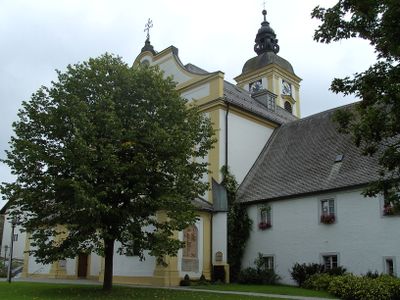
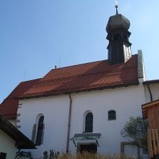
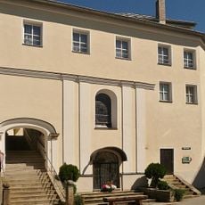
Rinchnach Priory, Benedictine monastery in Rinchnach, Germany.
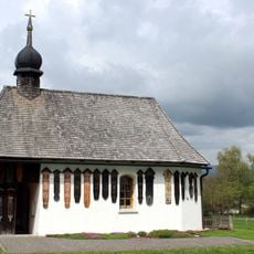
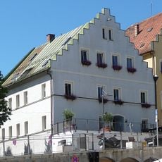
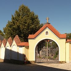
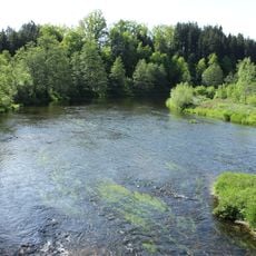
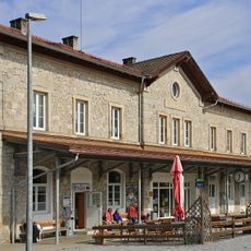
Rinchnach Priory is a Benedictine monastery in the Bavarian Forest region, situated in a river valley beneath the Gsengetstein mountain slopes. The complex includes several buildings arranged around a church dedicated to John the Baptist, with the Rinchnacher Ohe waterway flowing through the surrounding landscape.
Saint Gunther founded the priory in 1011 as the first permanent settlement in the central Bavarian Forest, and received land grants from Emperor Conrad II in 1029. The community rebuilt itself multiple times after attacks from outside forces over the following centuries.
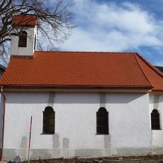
The priory church bears the name of John the Baptist, reflecting the religious veneration that shaped this place for centuries. Visitors see spaces that monks used for prayer and communal life, showing how a monastic community structured its daily routines.
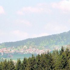
The priory sits in a valley surrounded by forest, offering a quiet and secluded visit away from busy areas. Reaching the site requires planning since it is located in a rural region rather than a major town.
The monastery was destroyed multiple times by invaders, including by Hussite forces in 1488 and Hungarian regiments in 1703, yet the community rebuilt it after each attack. This pattern of destruction and reconstruction reflects the resilience of those who lived here across many generations.
The community of curious travelers
AroundUs brings together thousands of curated places, local tips, and hidden gems, enriched daily by 60,000 contributors worldwide.