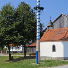
Buchberger Leite, Geotope and tectonic dislocation in Hohenau, Germany.
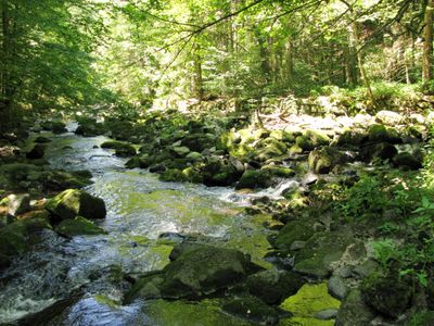
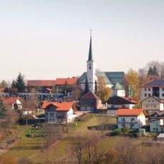
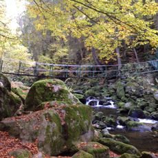
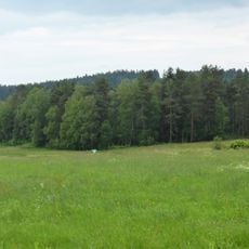
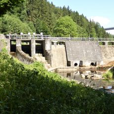
Buchberger Leite is a gorge in Hohenau, Bavaria, where the Wolfsteiner Ohe river cuts through layers of dark Pfahlschiefer rock over a course of several kilometers. The terrain is steep and rocky, with densely wooded slopes framing the stream on both sides.
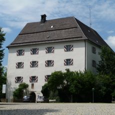
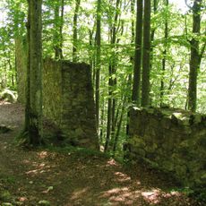
The gorge formed through tectonic shifts that cracked and displaced the rock over millions of years, after which flowing water carved out its current shape. Not far from the site stood Neuenbuchberg Castle, with roots going back to the 13th century, showing the area has been inhabited for a long time.
The gorge is part of the Bavarian Forest nature park and draws walkers from across the region throughout the year. Along the trail, moss-covered rocks and rushing water give the path a raw, unchanged feel that visitors notice right away.
The trail starts from a parking area on Zuppinger Strasse and passes through varied terrain with some steeper sections that require sure footing. Sturdy shoes are a good idea, and those who plan to walk the full route should set aside several hours.
In 2003, the Bavarian Ministry of Environment named Buchberger Leite one of the 100 most outstanding geotopes in Bavaria. This makes it one of the few places in the state where the marks of tectonic displacement are clearly readable in the rock faces you walk past on the trail.
The community of curious travelers
AroundUs brings together thousands of curated places, local tips, and hidden gems, enriched daily by 60,000 contributors worldwide.