Lusen, Mountain summit in Bavaria, Germany
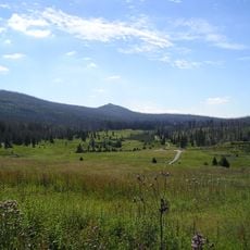
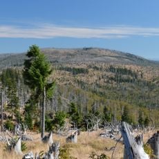
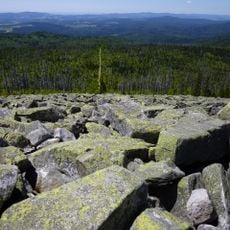
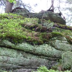
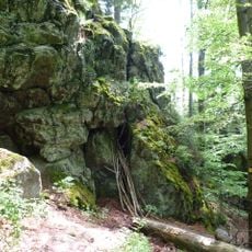
Lusen is a 1373-meter granite mountain within Bavarian Forest National Park, characterized by extensive stone fields called Blockmeer spread across its slopes. These rocky formations give the peak a distinctive, boulder-strewn appearance that sets it apart from surrounding forested areas.
The mountain appears on Bavaria's oldest known map from 1523, created by cartographer Johannes Aventinus. Its name likely stems from Celtic settlements that once occupied the surrounding area.
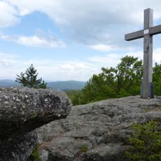
A large cross marks the summit, placed by Catholic youth in 1947 and later joined by a Jesus statue, reflecting the spiritual significance the peak holds for the region.
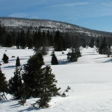
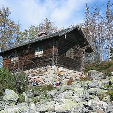
The shortest ascent starts at the car park below the Lusen and takes about 1.5 hours. Two routes leave from Waldhäuser: the Sommerweg, whose last 1.5 km run straight up the west side to the steep stone stairway called Himmelsleiter, and the Winterweg, used for the long sled run. The Lusenschutzhaus, 30 m below the summit, serves food and beds and is open at weekends in winter.
The summit's stone sea is listed among Bavaria's "100 most beautiful geotopes". The mountain also marks a former tripoint: at the Markfleckl, about 300 m north of the summit at 1299 m, the territories of Electoral Bavaria, the Kingdom of Bohemia and the Prince-Bishopric of Passau met until 1803.
The community of curious travelers
AroundUs brings together thousands of curated places, local tips, and hidden gems, enriched daily by 93,999 contributors worldwide.