Enable Location

We need your location to show you interesting places around you

Discover nearby places

Find interesting locations and hidden gems around you

Precise directions

Get accurate directions and distances to places

Your location is never shared with other users. It's only used when you tap the location button.

Plattenhausenriegel

Log in to your account

Start exploring — it's free

Trusted by 65,206 travelers worldwide

Continue with Google
Continue with Apple
or

We will send you a code to connect

By continuing, you accept our Terms and Conditions and our Privacy Policy

Check your inbox

We've sent a pincode in your inbox. Please enter the code below.

Plattenhausenriegel
Discussion Reviews 1 Photos
3k Popularity

Plattenhausenriegel, Mountain summit in Bavarian Forest, Germany

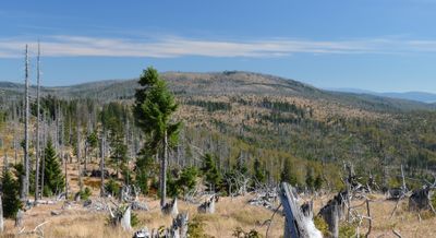
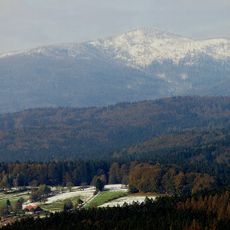
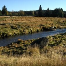
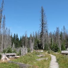
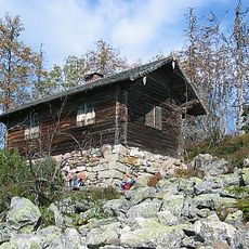
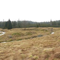
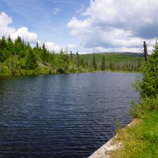
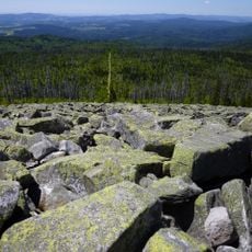
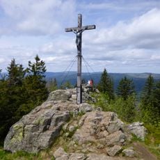
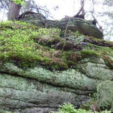
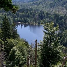
Plattenhausenriegel is a mountain summit in the Bavarian Forest National Park in Germany, rising to 1,372 meters (4,500 ft) with rocky outcrops and stands of dead trees at its peak. The top is bare and open, offering wide views over the surrounding ridges.

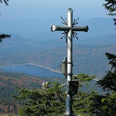
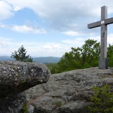
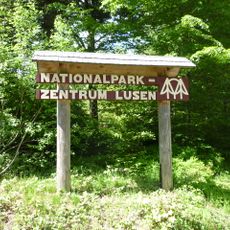
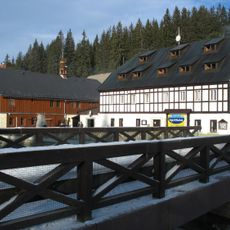
The summit lies within what became Germany's first national park, established in 1970. In June 1963, two Czechoslovak MiG-15 jets crashed near the mountain, and a memorial called Pilotenmarterl was erected at the site to mark the event.

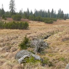
The summit sits on the border between Germany and the Czech Republic, and old boundary stones marked with the blue-and-white Bavarian diamond pattern run along the ridge. These stones have stood in the landscape for generations and give the path its distinct character.

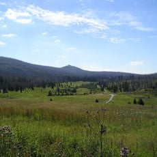
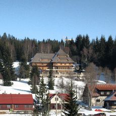
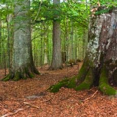
The hike starts from the Fredenbrücke parking area in Neuschönau and is a long, demanding route that requires sturdy footwear and good physical condition. The trail passes through the national park, where some sections may be subject to seasonal closures.

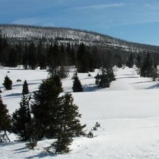
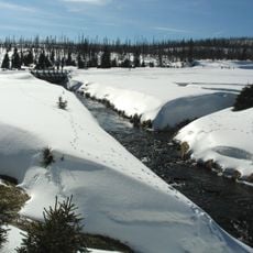
The border path along the ridge is closed every year from November 16 to July 14 to protect wildlife during the sensitive season. Anyone planning a visit during these months should check which alternative routes remain open before setting out.

The community of curious travelers

AroundUs brings together thousands of curated places, local tips, and hidden gems, enriched daily by 60,000 contributors worldwide.

Start exploring
GPS coordinates
48.96400,13.45029
Latest update
March 3, 2026 13:52
Reviews
Share your experience

No review yet

Discussions
Start a discussion...

No discussion yet

« Plattenhausenriegel - Mountain summit in Bavarian Forest, Germany » is provided by Around Us (aroundus.com). Images and texts are derived from Wikimedia project under a Creative Commons license. You are allowed to copy, distribute, and modify copies of this page, under the conditions set by the license, as long as this note is clearly visible.

Discover hidden gems everywhere you go!

From secret cafés to breathtaking viewpoints, skip the crowded tourist spots and find places that match your style. Our app makes it easy with voice search, smart filtering, route optimization, and insider tips from travelers worldwide. Download now for the complete mobile experience.

Around Us App Screenshot

A unique approach to discovering new places

Le Figaro

All the places worth exploring

France Info

A tailor-made excursion in just a few clicks

20 Minutes

Around Us
Travel Guide & Maps
Download

Send to your phone

QR Code
1

Open the camera app on your mobile.

2

Point at the QR code with your camera. A notification will appear.

3

Tap the notification to open the link.