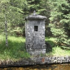
Modravské slatě, Natural monument in Modrava, Czech Republic
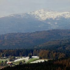
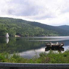
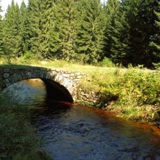
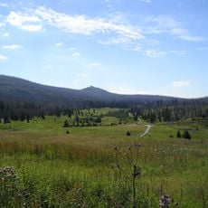
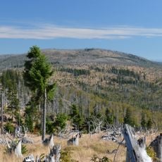
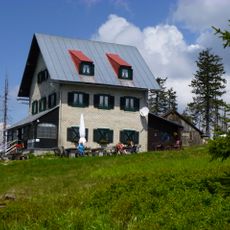
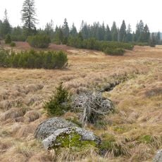
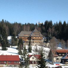
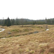
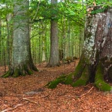
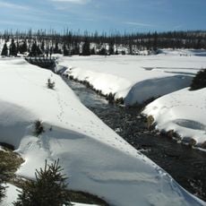
Modravské slatě is a protected natural area within the Šumava Mountains characterized by extensive peat bogs and wetland ecosystems. The thick layers of peat hold water year-round, creating boggy ground that can be soggy even in drier seasons and supporting specialized plant communities.
The peat bogs formed during and after the last ice age when melting ice left behind waterlogged depressions where plants accumulated and decomposed slowly. Over millennia, successive layers built up the thick peat deposits that define the landscape today.
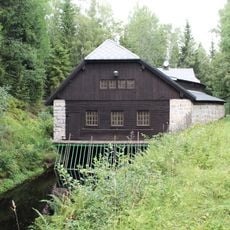
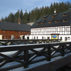
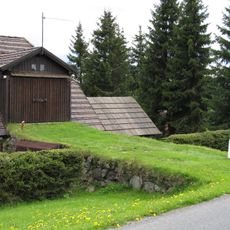
The locals and visitors regard this place as distinctly different from surrounding areas, shaped by its wet conditions and unusual plant life. The way people interact with it has changed greatly once it became legally protected for nature conservation.
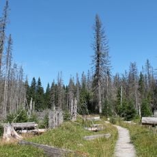
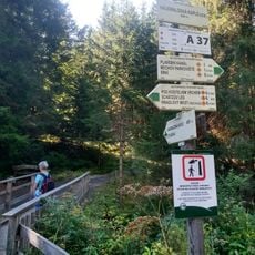
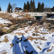
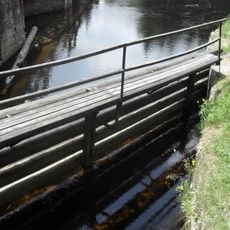
Wear sturdy, waterproof footwear with good grip since the ground is wet and slippery throughout the year. Marked trails provide the safest way to explore while keeping to solid pathways and avoiding boggy areas that can be difficult to cross.
The peat layers act like an archive, preserving records of climate and vegetation going back thousands of years in their stratification. Scientists study these deposits to read the region's past environmental conditions and track how nature has shifted over time.
The community of curious travelers
AroundUs brings together thousands of curated places, local tips, and hidden gems, enriched daily by 60,000 contributors worldwide.