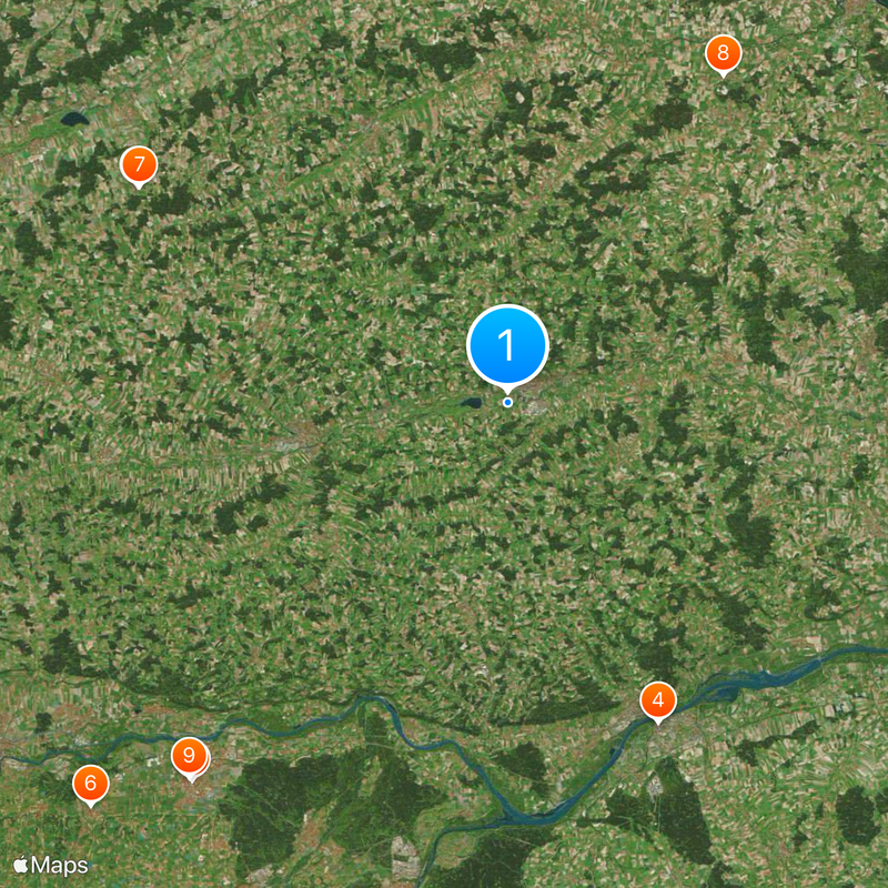
Rottal-Inn, Administrative division in Lower Bavaria, Germany
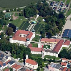
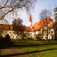
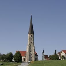
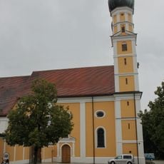
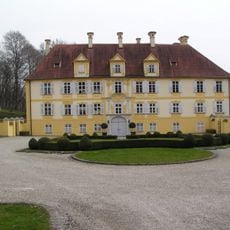
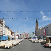
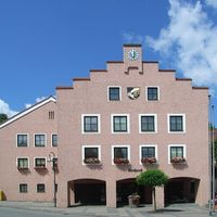
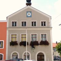
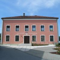
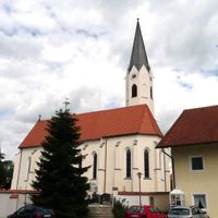
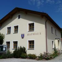
Rottal-Inn is a district in southeastern Bavaria that covers a substantial area and borders Austria's Upper Austria region. It is governed from Pfarrkirchen, where the administrative center is located.
The district was created in 1972 when Pfarrkirchen and Eggenfelden districts merged, incorporating territory from neighboring administrative regions. This consolidation established the foundation for the area's modern governance.
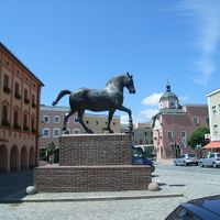
The district emblem features a panther linked to Eggenfelden's past and a horse connected to Pfarrkirchen's heritage. These symbols reflect the different regional origins that shaped this territory.
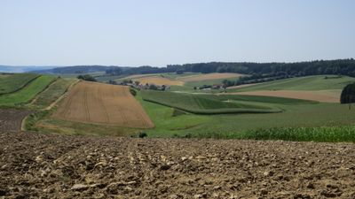
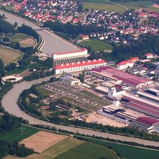
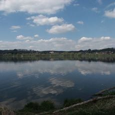
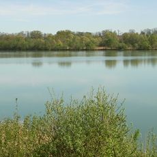
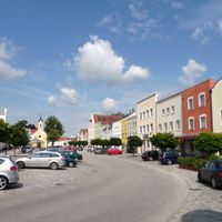
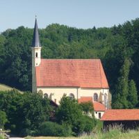
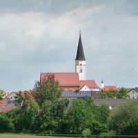
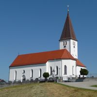
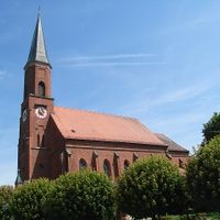
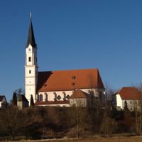
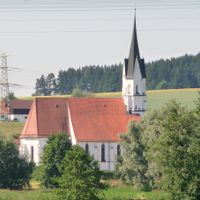
The area is accessible through various routes and shaped by two important waterways that flow through the landscape. Visitors should expect a rural setting with a traditional, agricultural character throughout the region.
The Inn River forms the border with Austria and is one of the area's most distinctive geographical features. The Rott flows through the center, contributing to the varied river landscape that characterizes the district.
Location: Lower Bavaria
Inception: July 1, 1972
Capital city: Pfarrkirchen
Elevation above the sea: 461 m
Shares border with: Passau, Altötting county, Mühldorf, Landshut, Dingolfing-Landau, Deggendorf, Braunau District
Website: https://rottal-inn.de
GPS coordinates: 48.42000,12.92000
Latest update: December 12, 2025 08:44
Adolf-Hitler-Geburtshaus
20.1 km
Our Lady of Altötting
28.1 km
Hitler birthplace memorial stone
20.1 km
Hubseilturm
24.4 km
Schloss Tüßling
33.1 km
Bayern Park
24.3 km
Aldersbach Abbey
22.3 km
Basilica of St. Ann, Altötting
28.1 km
Stiftspfarrkirche St. Philipp und Jakob
28.2 km
Freischütz
24.2 km
Schloss Schönau, Rottal
9 km
Sankt Stephan
20 km
Brother Konrad Monastery
28.1 km
Töging power station
31.1 km
Stift Ranshofen
22.2 km
Firlefranz
24.5 km
Rottauensee
1.9 km
Vilstalsee
29.6 km
Unterer Inn
22.2 km
Wallfahrtskirche St. Ägidius
13.9 km
Schloss Hagenau
20.9 km
Hotel zur Post
28 km
Mariä Himmelfahrt
22.4 km
Kapellplatz
28.1 km
Schloss Ering
21.7 km
Schloss Haidenburg
18.1 km
Wallfahrtskirche Gartlberg
2.4 km
Schloss Frauenbühl
25.6 kmVisited this place? Tap the stars to rate it and share your experience / photos with the community! Try now! You can cancel it anytime.
Pfarrkirchen
Eggenfelden
Simbach am Inn
Arnstorf
Bad Birnbach
Gangkofen
Massing
Tann
Triftern
Wurmannsquick
Bayerbach
Dietersburg
Egglham
Ering
Falkenberg
Geratskirchen
Hebertsfelden
Johanniskirchen
Julbach
Kirchdorf am Inn
Malgersdorf
Mitterskirchen
Postmünster
Reut
Rimbach
Roßbach
Schönau
Stubenberg
Unterdietfurt
Wittibreut
Zeilarn
Discover hidden gems everywhere you go!
From secret cafés to breathtaking viewpoints, skip the crowded tourist spots and find places that match your style. Our app makes it easy with voice search, smart filtering, route optimization, and insider tips from travelers worldwide. Download now for the complete mobile experience.
A unique approach to discovering new places❞
— Le Figaro
All the places worth exploring❞
— France Info
A tailor-made excursion in just a few clicks❞
— 20 Minutes