Deggendorf, Administrative district in Lower Bavaria, Germany
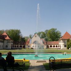
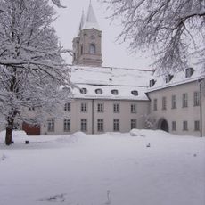
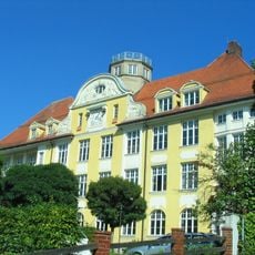
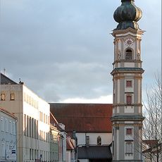
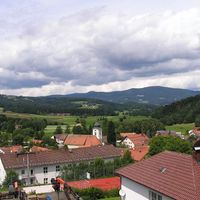
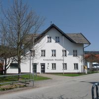
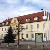
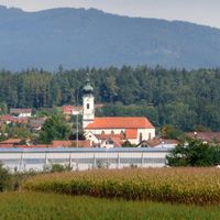
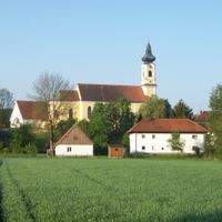
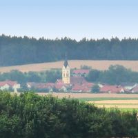
Deggendorf district is an administrative area in Lower Bavaria comprising 26 municipalities and three major cities serving as regional centers. The territory spans across the Danube River with varying landscapes from forested regions to open countryside.
The district was established in 1936 and gained its current shape through boundary changes in 1972. This restructuring created the administrative borders that remain in place today.
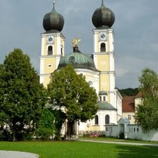
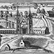
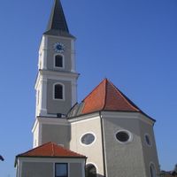
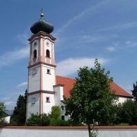
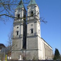
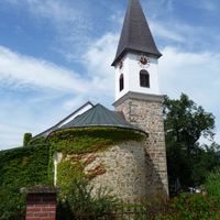
The coat of arms features a double eagle from Metten monastery, a blue line for the Danube, and green hills for the Bavarian Forest. These symbols reflect the connection between religious tradition and the natural landscape.
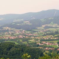
The district is best explored by allowing time to move through its different regions, from forested areas in the north to flatter terrain in the south. The Danube serves as a helpful geographic reference point dividing these distinct zones.
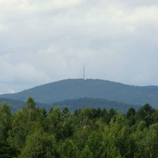
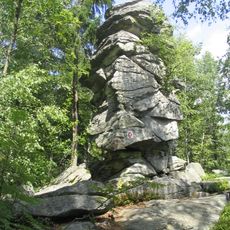
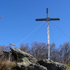
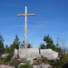
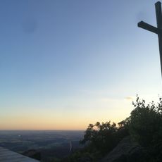
The Einödriegel peak reaches about 1,220 meters (4,000 ft) and stands as the highest mountain in the district within the northern Bavarian Forest. This summit marks the boundary between the flatter areas and the more elevated regions.
Location: Lower Bavaria
Inception: July 1, 1862
Capital city: Deggendorf
Elevation above the sea: 309 m
Shares border with: Straubing-Bogen, Regen, Freyung-Grafenau, Passau, Rottal-Inn, Dingolfing-Landau
Website: http://landkreis-deggendorf.de
GPS coordinates: 48.83000,13.00000
Latest update: December 13, 2025 17:40
Metten Abbey
6.6 km
Schloss Egg
8.1 km
Brotjacklriegel
16 km
Weißenstein Castle
17 km
Brotjacklriegel transmitter
16 km
Abtei Schweiklberg
25.8 km
Rusel
8.1 km
Geißkopf
10.8 km
Aholming transmitter
12.2 km
Bezirksklinikum Mainkofen
7.9 km
Niederaltaich Abbey
7.4 km
Schloss Moos
9.3 km
Comenius-Gymnasium Deggendorf
3 km
Osterhofen Abbey
15.4 kmCastra Quintana
18.9 km
Teufelstisch
12.4 km
Grabkirche
2.8 km
Dreitannenriegel
7.7 km
Deggendorf Central Station
3.8 km
Einödriegel
11.1 kmAbteikirche Niederaltaich
7.5 km
Rinchnach Priory
19.8 km
Burg Natternberg
6.5 km
Büchelstein
13.1 kmRuselkraftwerke
5.8 km
Church of the Assumption
2.7 km
Schloss Oberwinzer
12.4 km
Burgruine Hilgartsberg
21.9 kmVisited this place? Tap the stars to rate it and share your experience / photos with the community! Try now! You can cancel it anytime.
Discover hidden gems everywhere you go!
From secret cafés to breathtaking viewpoints, skip the crowded tourist spots and find places that match your style. Our app makes it easy with voice search, smart filtering, route optimization, and insider tips from travelers worldwide. Download now for the complete mobile experience.
A unique approach to discovering new places❞
— Le Figaro
All the places worth exploring❞
— France Info
A tailor-made excursion in just a few clicks❞
— 20 Minutes