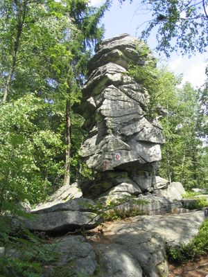
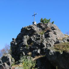
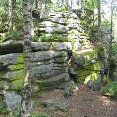
Teufelstisch, Rock formation summit in Bischofsmais, Germany.
Teufelstisch is a mountain summit at around 901 meters in the Bavarian Forest, defined by a distinctive table-shaped granite boulder crowning its peak. The rock formation creates a recognizable landmark visible across the region.
The table-shaped granite formation was created through geological processes that shaped the Bavarian Forest over vast time periods, exposing granite blocks via natural weathering. These formations developed as part of the region's ancient geological history.
The place gets its name from local legend about the devil building a stone table before fleeing at the sound of midday bells from a nearby glassworks. This story shapes how visitors understand and experience the summit.
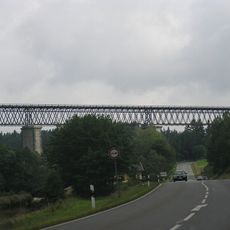
The summit is reachable by a marked hiking trail starting from Bischofsmais town center and passing through several small villages. Sturdy footwear and adequate water supply are recommended, as the route includes significant elevation gain.
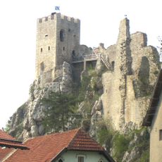
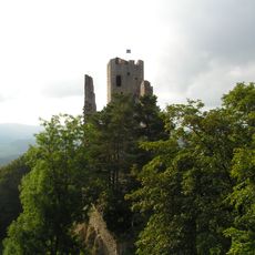
On clear days, the granite formation offers views of several other mountain peaks nearby and distant castle ruins visible across the landscape. This perspective helps visitors understand the broader geography of the forested region.
The community of curious travelers
AroundUs brings together thousands of curated places, local tips, and hidden gems, enriched daily by 60,000 contributors worldwide.