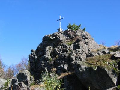
Breitenauriegel, Mountain summit in Bavarian Forest, Germany.
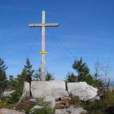
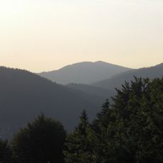
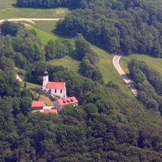
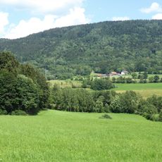
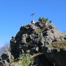
Breitenauriegel is a mountain peak in the Bavarian Forest located at approximately 1,100 meters elevation, topped with a summit cross and observation platform. The peak offers views across the forested slopes and valleys of the surrounding mountains.
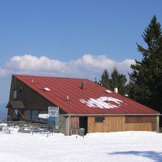
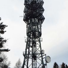
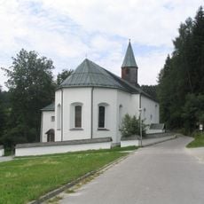
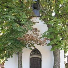
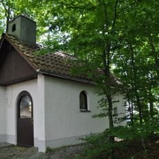
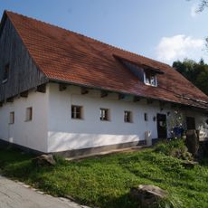
A mountain rescue service hut was built approximately 750 meters southeast of the peak to support visitors and climbers. This structure reflects how the region developed safety infrastructure to serve growing mountain tourism.
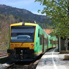
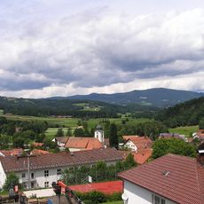
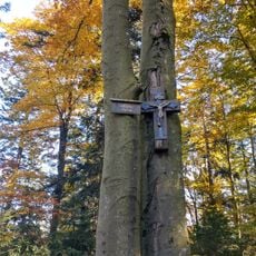
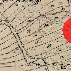
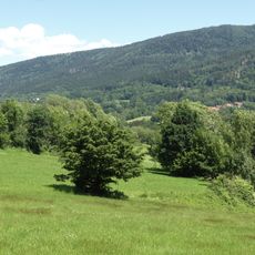
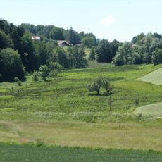
The mountain connects nearby villages through established walking routes that locals have used for generations. These traditional paths shape how people in the region spend their leisure time and move between communities.
You can reach the summit from several directions including Habischried, Bischofsmais, Rusel, and Rohrmünz, with routes suited to different fitness levels. The trails are well-maintained and take varying amounts of time depending on your starting point.
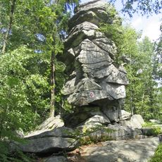
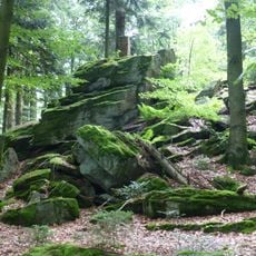
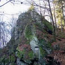
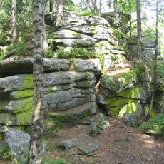
The summit area contains gneiss rock formations that are part of a protected conservation zone and create distinctive geological features across the landscape. These exposed rocks tell the story of the geological forces that shaped the entire Bavarian Forest.
Location: Deggendorf
Location: Bischofsmais
Website: https://photos.app.goo.gl/mRE7GwWuhPCEhYZf7
GPS coordinates: 48.90655,13.03002
Latest update: December 14, 2025 15:02
Bavarian Forest Railway
6.8 km
Rusel
5.2 km
Geißkopf
2 km
Teufelstisch
3.9 km
Einödriegel
2.4 km
Hausstein
5 km
Vogelsang
7 km
Sender Deggendorf/Hochoberndorf
4.1 km
Maxfelsen
5.2 km
Burgstall Ulrichsberg
5.3 km
Geißriegel
1.6 km
Cultural heritage D-2-7044-0001 in Bischofsmais
6.3 km
Unsere liebe Frau vom Berge Karmel
3.9 km
St. Joseph
6.1 km
St. Jakobus der Ältere
4 km
Alte katholische Pfarrkirche St. Andreas
4.4 km
Katholische Wallfahrtskirche St. Bartholomäus
3.1 km
Weilerkapelle
7.2 km
Kapelle
7 km
Wiesen und Triften um Rohrmünz, Grafling und Frath
5.1 km
Gipfelgrat des Teufelstischs NW von Bischofsmais
3.9 km
St. Bartholomäus
3.1 km
Wohnhaus eines ehemaligen Dreiseithofs
7.3 km
Wohnstallhaus, ehemaliges Inhaus zum Gasthof
7.3 km
Wohnstallhaus
4.8 km
Deggendorfer Vorwald
5 km
Bergwiesen und -weiden im Vorderen Bayerischen Wald
5.8 km
Extensivwiesen östlich Deggendorf
7.2 kmVisited this place? Tap the stars to rate it and share your experience / photos with the community! Try now! You can cancel it anytime.
Discover hidden gems everywhere you go!
From secret cafés to breathtaking viewpoints, skip the crowded tourist spots and find places that match your style. Our app makes it easy with voice search, smart filtering, route optimization, and insider tips from travelers worldwide. Download now for the complete mobile experience.
A unique approach to discovering new places❞
— Le Figaro
All the places worth exploring❞
— France Info
A tailor-made excursion in just a few clicks❞
— 20 Minutes