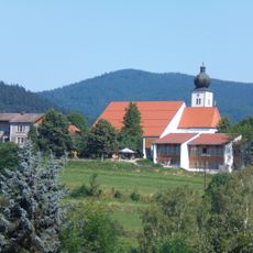
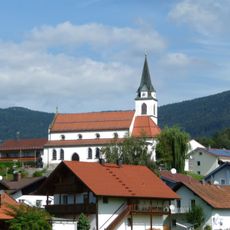
Vogelsang, Natural monument and mountain in Bernried, Germany
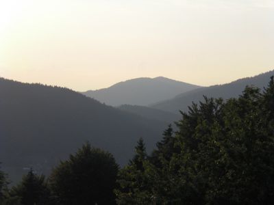
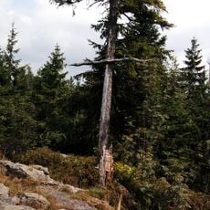
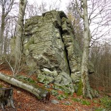
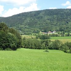
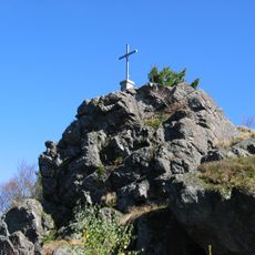
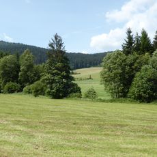
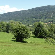
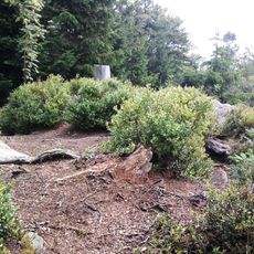
Vogelsang is a rocky peak and natural monument in Bernried composed of granite and gneiss formations that measure 80 meters in length and 15 meters in width. These rock formations create a distinctive summit that rises prominently from the surrounding Bavarian Forest landscape.
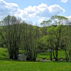
Glacial movements during ice ages shaped the area and created the granite formations we see today. Since medieval times, the peak served as a reference point marking boundaries between surrounding valleys and communities.
The name Vogelsang refers to the birds that inhabit this place and shape how people connect with it. The rocky slopes and open areas attract different bird species, making this peak a natural observation point that lives up to its name.
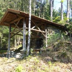
The peak is accessible from Bernried via marked hiking trails with parking available at the base. Visit during dry weather since the rocky surfaces can become slippery when wet.
This peak forms part of a rare triple-summit formation together with its neighbors Butzen and Hinterberg. This unusual arrangement makes the area noteworthy for those interested in understanding how the landscape was shaped.
Location: Bernried
Elevation above the sea: 1,022 m
Length: 80 m
Width: 15 m
GPS coordinates: 48.93443,12.94359
Latest update: December 14, 2025 18:44
Hirschenstein
5.7 km
Kloster Gotteszell
3.6 km
St. Jakobus (Achslach)
4.2 km
Osterbrünnl-Kapelle
5.6 km
Klausenstein
3.9 km
Geißriegel
5.8 km
Aussichtsturm Hirschenstein
5.7 km
St. Nikolaus
4.5 km
Alte katholische Pfarrkirche St. Andreas
5 km
St. Katharina
4.7 km
Gneisgipfelklippen des Hirschenstein bei Rettenbach
5.7 km
Lourdesgrotte
4.4 km
Weilerkapelle
6 km
Ruhmannsfeldener Leite
5.9 km
Kalvarienberg
3.6 km
Birkenbruchwald Oed
6 km
Waldlerhaus
4.9 km
Wiesen und Triften um Rohrmünz, Grafling und Frath
3 km
Bayerwaldstraße 1 (Bernried)
4.9 km
Teisnach zwischen Gotteszell und Ruhmannsfelden
3.8 km
Waldlerhaus
5.8 km
Osterbrünnl-Kapelle
5.6 km
Kalvarienberg Gotteszell
3.5 km
Am Sportplatz 1
4.7 km
Deggendorfer Vorwald
2.4 km
Bergwiesen und -weiden im Vorderen Bayerischen Wald
1.8 km
Wolfertsrieder Bach
5.1 km
Rauher Kulm
3.6 kmVisited this place? Tap the stars to rate it and share your experience / photos with the community! Try now! You can cancel it anytime.
Discover hidden gems everywhere you go!
From secret cafés to breathtaking viewpoints, skip the crowded tourist spots and find places that match your style. Our app makes it easy with voice search, smart filtering, route optimization, and insider tips from travelers worldwide. Download now for the complete mobile experience.
A unique approach to discovering new places❞
— Le Figaro
All the places worth exploring❞
— France Info
A tailor-made excursion in just a few clicks❞
— 20 Minutes