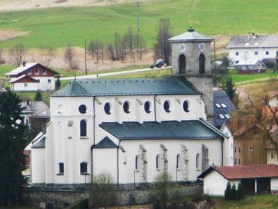
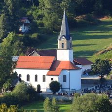
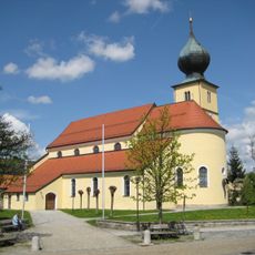
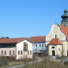
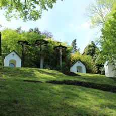
Kloster Gotteszell, Cistercian monastery in Gotteszell, Germany
Kloster Gotteszell is a Cistercian monastery in the municipality of Gotteszell in Bavaria with a group of historical buildings arranged around an inner courtyard. The complex includes a church, living quarters for monks, a kitchen, library, and workshops all built following the traditional layout typical of monasteries in this religious order.
The monastery was founded in 1285 and quickly grew into an important religious and economic center in the Bavarian region. Through the centuries it survived political upheavals, wars, and religious shifts while remaining an active monastic community to this day.
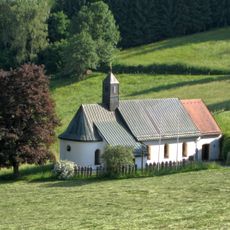
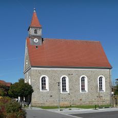
The monastery served for centuries as a space where monastic communities gathered for prayer, study, and shared meals following their religious rule. Visitors today experience the quiet rhythm that shaped daily life here, from the chapel where services were held to the areas where scholarly work took place.
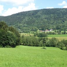
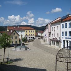
The monastery is located in Gotteszell at about 510 meters in elevation and can be reached by car or on foot through the rural roads surrounding the area. It is best visited during dry weather, and visitors should be aware this is an active monastic community where daily religious life continues.
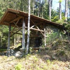
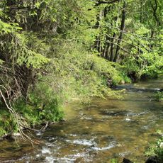
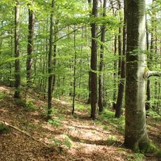
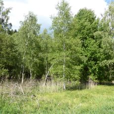
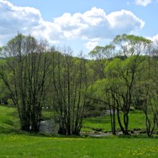
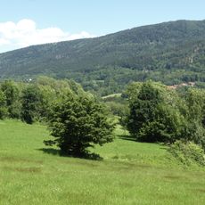
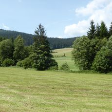
The monastery continues to operate its own farmland and forests that it has managed for centuries, contributing to sustainable land use in the region. This blend of monastic spiritual practice with hands-on land stewardship is a rare example of unbroken traditional monastic work.
The community of curious travelers
AroundUs brings together thousands of curated places, local tips, and hidden gems, enriched daily by 60,000 contributors worldwide.