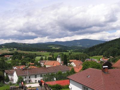
Rusel, Hill chain in Schaufling, Germany.
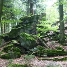
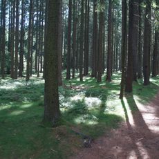
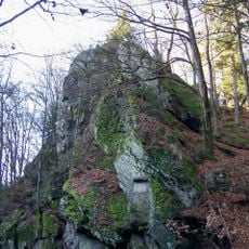
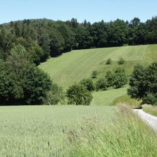
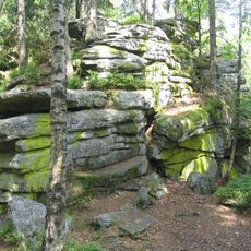
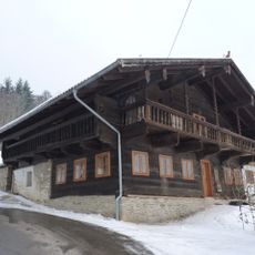
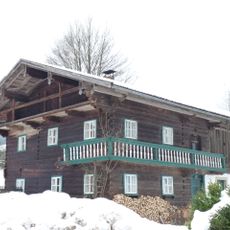
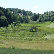
Rusel is a hill chain in the Bavarian Forest landscape that rises gently above the surrounding area of Schaufling. The terrain combines open meadows, forested slopes, and well-marked trails that invite people to explore the natural contours at their own pace.
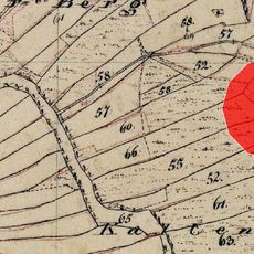
Geological processes shaped this hill chain over time, and it has long provided the foundation for human settlement and local economic activities. For centuries the landscape has been managed through forestry and farming practices that continue to define how the area looks today.
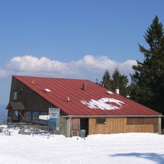
The SC-Rusel club strengthens community bonds by organizing regular skiing trips and outdoor events that connect residents with their natural surroundings.
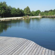
Visitors can enjoy outdoor activities throughout the year, though conditions vary significantly with the season. Checking current weather before your visit helps you prepare appropriate gear, especially during colder months when trails may be affected.
The geographical position of Rusel at coordinates 48.8769, 13.0852 creates specific weather patterns that affect seasonal activities and natural cycles.
Location: Schaufling
GPS coordinates: 48.87690,13.08520
Latest update: December 10, 2025 20:04
Geißkopf
6.3 km
Teufelstisch
6.4 km
Breitenauriegel
5.2 km
Hausstein
1.3 km
Streicher Fahrzeug- und Kunstmuseum
3.7 km
Todtenau und umgebende Auen
3.8 km
Maxfelsen
5.1 km
Geißriegel
6.4 km
Cultural heritage D-2-7044-0001 in Bischofsmais
4.8 km
Katholische Pfarrkirche St. Stephan
5.1 km
Katholische Wallfahrtskirche St. Bartholomäus
4.6 km
St. Jakobus der Ältere
4.5 km
Vierzehn Nothelfer
4 km
Unsere liebe Frau vom Berge Karmel
4.2 km
Ortskapelle
5 km
Kapelle
5.1 km
Todtenau
3.8 km
Obere Hengersberger Ohe mit Hangwiesen
4.8 km
Gipfelgrat des Teufelstischs NW von Bischofsmais
6.4 km
Wohnhaus eines ehemaligen Dreiseithofs
2.1 km
Wohnstallhaus, ehemaliges Inhaus zum Gasthof
2.1 km
Wohnhaus, ehemaliger Gasthof
2.1 km
Mitterstallhaus
4.5 km
St. Bartholomäus
4.6 km
Wohnstallhaus
5 km
Extensivwiesen östlich Deggendorf
5.5 km
Kurpark
5.7 km
Todtenau und Gföhretwiesen bei Zell
5 kmVisited this place? Tap the stars to rate it and share your experience / photos with the community! Try now! You can cancel it anytime.
Discover hidden gems everywhere you go!
From secret cafés to breathtaking viewpoints, skip the crowded tourist spots and find places that match your style. Our app makes it easy with voice search, smart filtering, route optimization, and insider tips from travelers worldwide. Download now for the complete mobile experience.
A unique approach to discovering new places❞
— Le Figaro
All the places worth exploring❞
— France Info
A tailor-made excursion in just a few clicks❞
— 20 Minutes