Bischofsmais, municipality of Germany
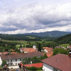
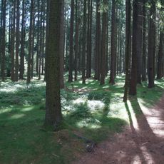
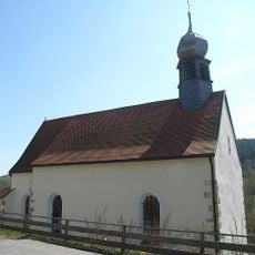
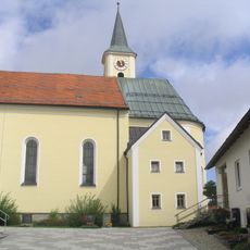
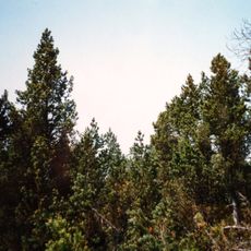
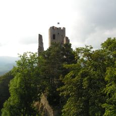
Bischofsmais is a small municipality in the forested landscape of the Bavarian Forest, surrounded by green hills, old woodlands, and gentle meadows. The settlement spreads loosely across the region, with the center at the pilgrimage church of Saint Hermann, while the Geisscopf mountain and its facilities anchor the natural surroundings.
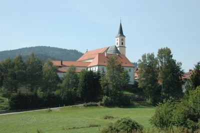
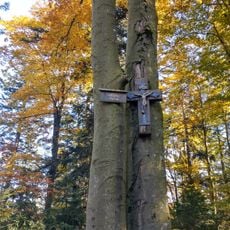
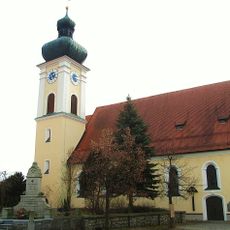
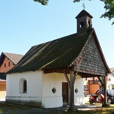
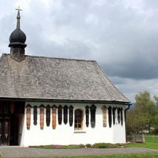
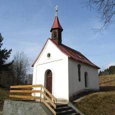
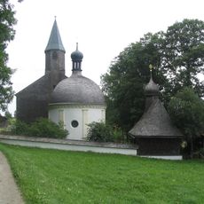
The pilgrimage church of Saint Hermann was established over 350 years ago as the founding core of the settlement, built around a venerated bishop believed to help the faithful. Nearby Niederaltaich monastery shaped early settlement in the region, with the church drawing believers seeking spiritual connection across generations.
The village is named after Saint Hermann, a bishop venerated for his special gifts, and the pilgrimage church dedicated to him stands at the center of community life. Visitors can see how local traditions remain woven into daily rhythms, from seasonal events in the Kurpark to the reverence shown at the three sacred spots near the church.
The municipality is easy to navigate and offers free public transport to guests with a visitor card, making movement around the area convenient. The local tourism office provides accessible facilities and helpful guidance on trails, activities, and accommodation options for every type of visit.
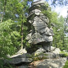
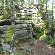
The Devil's Table, an unusual rock formation at 901 meters elevation, carries local legends that walkers discover along short trails through the forest. This curious stone shape serves as a popular photo spot and connects the area's natural geology with the region's storied folklore.
The community of curious travelers
AroundUs brings together thousands of curated places, local tips, and hidden gems, enriched daily by 60,000 contributors worldwide.